Idaho Social Studies 5.SS.2.3
The Standard
Name and locate the 50 States and their Capitals, and United States Territories.
Idaho Content Standards: K-12 Social Studies
Teacher's field guide
What This Standard Means
What Students Need to Do
- Students name all 50 states, locate them on a map, and match each state to its capital. They also name and locate U.S. territories in the Caribbean and Pacific.
What Mastery Looks Like
- Given blank maps, a student can label the states, mark their capitals, and locate U.S. territories. They can tell a state from a territory.
Common Misconceptions
- Students may name New York City as New York's capital instead of Albany. They may confuse Washington, D.C., with Washington state's capital, Olympia, or call Puerto Rico a state.
How to Assess It
- Hand out a blank U.S. map with Caribbean and Pacific insets. Ask students to label Oregon, Louisiana, Maine, Puerto Rico, and Guam, then add the three state capitals.
Lesson moves
Ways to Teach It
Give pairs blank U.S. and world maps plus state, capital, and territory cards; have them match states to capitals and place the labels.
Show a mainland U.S. map and ask, 'Which states and territories are missing, and what other maps would help us find them?'
Play capital bingo: call a state name, and have students cover its capital on their cards; reverse the clues for round two.
Give students a flight itinerary through Albany, Honolulu, San Juan, and Guam; have them map each stop and label its state or territory.
Free download
Printable 5.SS.2.3 Worksheet
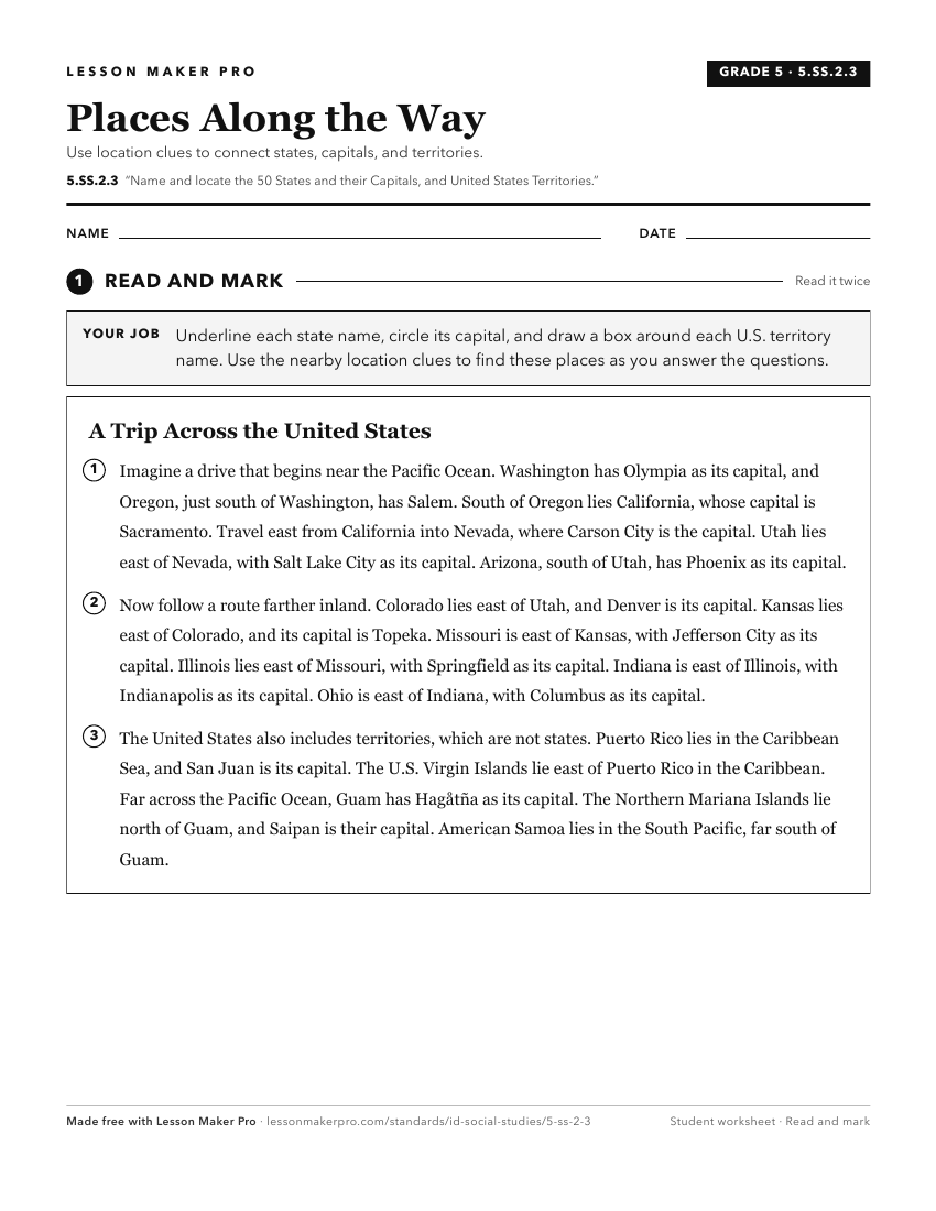
A ready-to-print activity worksheet aligned to 5.SS.2.3, with an answer key for the teacher on its own page. No account needed.
PDF, US Letter, prints cleanly in black and white.
Download the worksheetKeep exploring
Related Standards
- 5.SS.2.2
Identify the regions of the United States and their resources.
- 6-9.WG.2.7
Identify the names and locations of countries and major cities in regions around the world.
- 1.SS.2.1.c
locating Idaho, the United States, continents, and oceans on maps and globes
- 3.SS.2.2
Use cardinal directions, map scales, legends, and grids to locate the United States, Washington D.C., Idaho, the state capital, Boise, and their own community o...
Turn this exact standard into a lesson
Grade, subject, topic, and the complete standard are prefilled. Create one free, no account needed.
Also for this standard:Make a WorksheetMake a QuizMake a Sub Lesson