Idaho Social Studies 3.SS.2.2
The Standard
Use cardinal directions, map scales, legends, and grids to locate the United States, Washington D.C., Idaho, the state capital, Boise, and their own community on a map.
Idaho Content Standards: K-12 Social Studies
Teacher's field guide
What This Standard Means
What Students Need to Do
- Students find the United States, Washington, D.C., Idaho, Boise, and their own community on maps. They use directions, grids, legends, and scales to describe locations and estimate distances.
What Mastery Looks Like
- A student can point to all five places on a map with an Idaho inset. They can name a grid square, explain a capital symbol, give a direction, and estimate a distance using the scale.
Common Misconceptions
- Students may mix up east and west or confuse Boise with Idaho. They may treat grid labels as place names or count grid squares instead of using the scale to measure distance.
How to Assess It
- Give students a North America map with an Idaho inset, grid, legend, compass rose, and scale. Ask them to mark all five places, name Boise's grid square and capital symbol, and estimate the distance and direction from Boise to Washington, D.C.
Lesson moves
Ways to Teach It
Give pairs a North America map and Idaho inset; have them place sticky dots on all five places.
Ask partners: Which direction is Washington, D.C., from Boise? Have them explain using the compass rose.
Call out grid squares on a labeled map; students race to name each place and check its symbol in the legend.
On an Idaho road map, have students use the scale to estimate the distance from their community to Boise.
Free download
Printable 3.SS.2.2 Worksheet
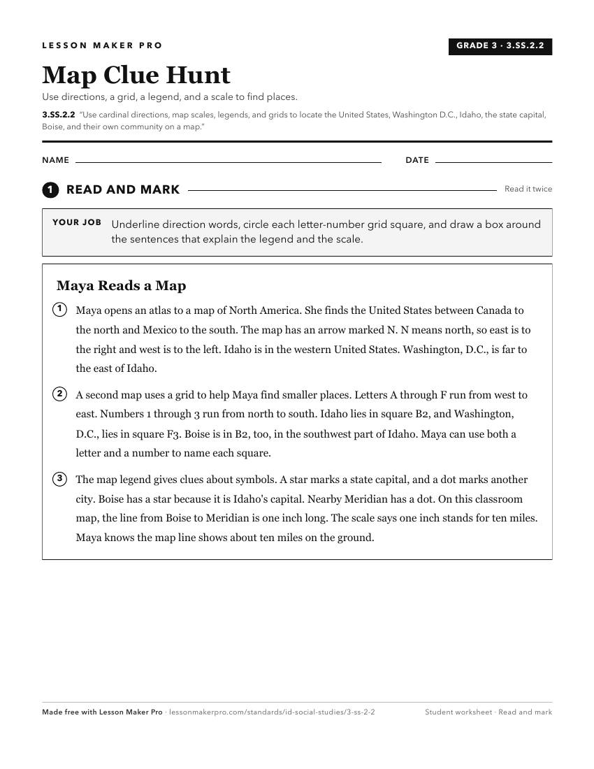
A ready-to-print activity worksheet aligned to 3.SS.2.2, with an answer key for the teacher on its own page. No account needed.
PDF, US Letter, prints cleanly in black and white.
Download the worksheetKeep exploring
Related Standards
- 5.SS.2.3
Name and locate the 50 States and their Capitals, and United States Territories.
- 1.SS.2.1.c
locating Idaho, the United States, continents, and oceans on maps and globes
- 4.SS.2.1
Use a number/letter coordinate grid to collect, analyze, interpret, and communicate data for finding specific locations on a map of Idaho.
- K.SS.2.1.d
identifying the geographic location of the United States and Idaho on a map and globe.
Turn this exact standard into a lesson
Grade, subject, topic, and the complete standard are prefilled. Create one free, no account needed.
Also for this standard:Make a WorksheetMake a QuizMake a Sub Lesson