Florida SS.8.G.4.1
The Standard
- SS.8.G.4
- Understand the characteristics, distribution, and migration of human populations.
Interpret population growth and other demographic data for any given place in the United States throughout its history.
Florida Next Generation Sunshine State Standards for Social Studies
Teacher's field guide
What This Standard Means
What Students Need to Do
- Students read census tables, maps, and graphs to identify changes in population size and makeup over time. They compare periods, calculate change, and connect patterns to historical events using evidence.
What Mastery Looks Like
- Students accurately describe growth, decline, and shifts among demographic groups. They cite specific years and figures, then separate what the data shows from possible explanations.
Common Misconceptions
- Students may confuse total growth with percentage growth or overlook uneven time intervals on a graph. They may assume migration caused every change, even when the data does not show a cause.
How to Assess It
- Provide Detroit population figures for 1900, 1930, 1960, and 2000. Ask students to identify two trends, cite figures, and suggest one supported historical explanation.
Lesson moves
Ways to Teach It
Give groups census cards from different years, then have them arrange the cards and build a floor graph showing growth and decline.
Ask students to write: Which historical event best explains the largest population change, and what evidence supports your claim?
Run a data detective relay where teams interpret census graphs and earn points only when answers include an accurate number and year.
Compare the county's current census profile with data from 20 years ago, then write one recommendation for housing, schools, or transportation.
Free download
Printable SS.8.G.4.1 Worksheet
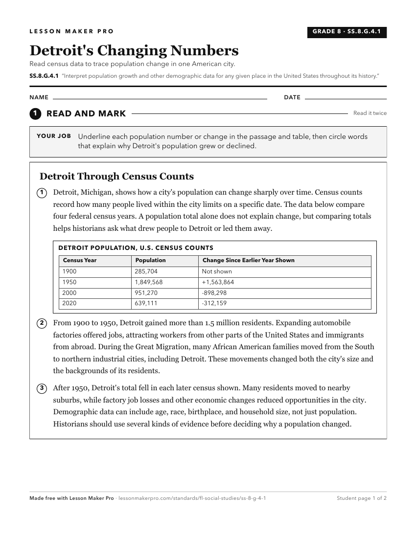
A ready-to-print activity worksheet aligned to SS.8.G.4.1, with an answer key for the teacher on its own page. No account needed.
PDF, US Letter, prints cleanly in black and white.
Download the worksheetKeep exploring
Related Standards
- SS.8.G.4.2
Use geographic terms and tools to analyze the effects throughout American history of migration to and within the United States, both on the place of origin and ...
- SS.8.G.4.4
Interpret databases, case studies and maps to describe the role that regions play in influencing trade, migration patterns, and cultural or political interactio...
- SS.7.G.4.2
Use maps and other geographic tools to examine the importance of demographics within political divisions of the United States.
- SS.8.G.4.5
Use geographic terms and tools to analyze case studies of the development, growth, and changing nature of cities and urban centers in the United States over tim...
Turn this exact standard into a lesson
Grade, subject, topic, and the complete standard are prefilled. Create one free, no account needed.
Also for this standard:Make a WorksheetMake a QuizMake a Sub Lesson