Florida SS.8.G.3.1
The Standard
- SS.8.G.3
- Understand the relationships between the Earth's ecosystems and the populations that dwell within them.
Locate and describe in geographic terms the major ecosystems of the United States.
Florida Next Generation Sunshine State Standards for Social Studies
Teacher's field guide
What This Standard Means
What Students Need to Do
- Students identify major U.S. ecosystems on a map, including forests, grasslands, deserts, tundra, wetlands, and chaparral. They describe locations using region, climate, elevation, landforms, and nearby water.
What Mastery Looks Like
- A student accurately labels broad ecosystem regions on a blank U.S. map. The student explains each placement with evidence such as rainfall, temperature, latitude, or elevation.
Common Misconceptions
- Students may treat ecosystems as if they follow state borders or assume one state has only one ecosystem. They may confuse daily weather with climate or group all forests together.
How to Assess It
- Give students a blank U.S. map with points in Alaska, the Great Plains, the Southwest, and the Southeast. They identify each ecosystem and give one geographic reason.
Lesson moves
Ways to Teach It
Give pairs a blank relief map and climate cards, then have them shade ecosystem regions and place each card where its conditions fit.
Ask students to compare the Southwest desert and Southeast wetlands using rainfall, temperature, landforms, and vegetation.
Run a map relay where teams place ecosystem cards on a U.S. map after hearing climate and location clues.
Choose four national parks and use location, climate, and vegetation data to identify the ecosystem found in each park.
Free download
Printable SS.8.G.3.1 Worksheet
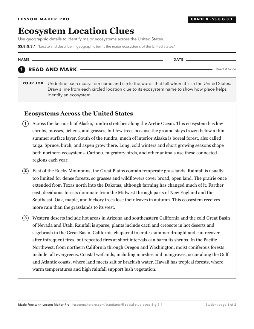
A ready-to-print activity worksheet aligned to SS.8.G.3.1, with an answer key for the teacher on its own page. No account needed.
PDF, US Letter, prints cleanly in black and white.
Download the worksheetKeep exploring
Related Standards
- SS.5.G.1.3
Identify major United States physical features on a map of North America.
- SS.7.G.2.1
Locate major cultural landmarks that are emblematic of the United States.
- SS.7.G.3.1
Use maps to describe the location, abundance, and variety of natural resources in North America.
- SS.7.G.2.2
Locate major physical landmarks that are emblematic of the United States.
Turn this exact standard into a lesson
Grade, subject, topic, and the complete standard are prefilled. Create one free, no account needed.
Also for this standard:Make a WorksheetMake a QuizMake a Sub Lesson