Florida SS.3.G.4.1
The Standard
- SS.3.G.4
- Human Systems
Explain how the environment influences settlement patterns in the United States, Canada, Mexico, and the Caribbean.
Florida Next Generation Sunshine State Standards for Social Studies
Teacher's field guide
What This Standard Means
What Students Need to Do
- Students use physical and population maps to connect water, climate, landforms, and natural resources with where communities grow. They compare examples across the United States, Canada, Mexico, and Caribbean islands, using map evidence to explain each link.
What Mastery Looks Like
- A student can identify a dense or sparse settlement area, name a nearby environmental feature, and explain why it attracts or limits people. The student can compare two regions without claiming that environment is the only cause.
Common Misconceptions
- Students may assume that all coasts are crowded or that cold, mountainous, and desert areas have no residents. They may also confuse political borders with environmental features or treat environment as the only reason people settle somewhere.
How to Assess It
- Give students paired physical and population maps. Ask: Choose one crowded area and one lightly settled area, then explain how one environmental feature may affect each settlement pattern.
Lesson moves
Ways to Teach It
Layer a transparent population map over a physical map, then circle three places where water, landforms, or climate match settlement patterns.
Discuss: Why might people cluster near the Great Lakes but spread out across northern Canada? Cite two map details.
Play Map Match: Pair settlement cards with environment cards, then explain each match before keeping the pair.
Compare a Caribbean port city and an inland town using satellite images, then list environmental benefits and limits for each location.
Free download
Printable SS.3.G.4.1 Worksheet
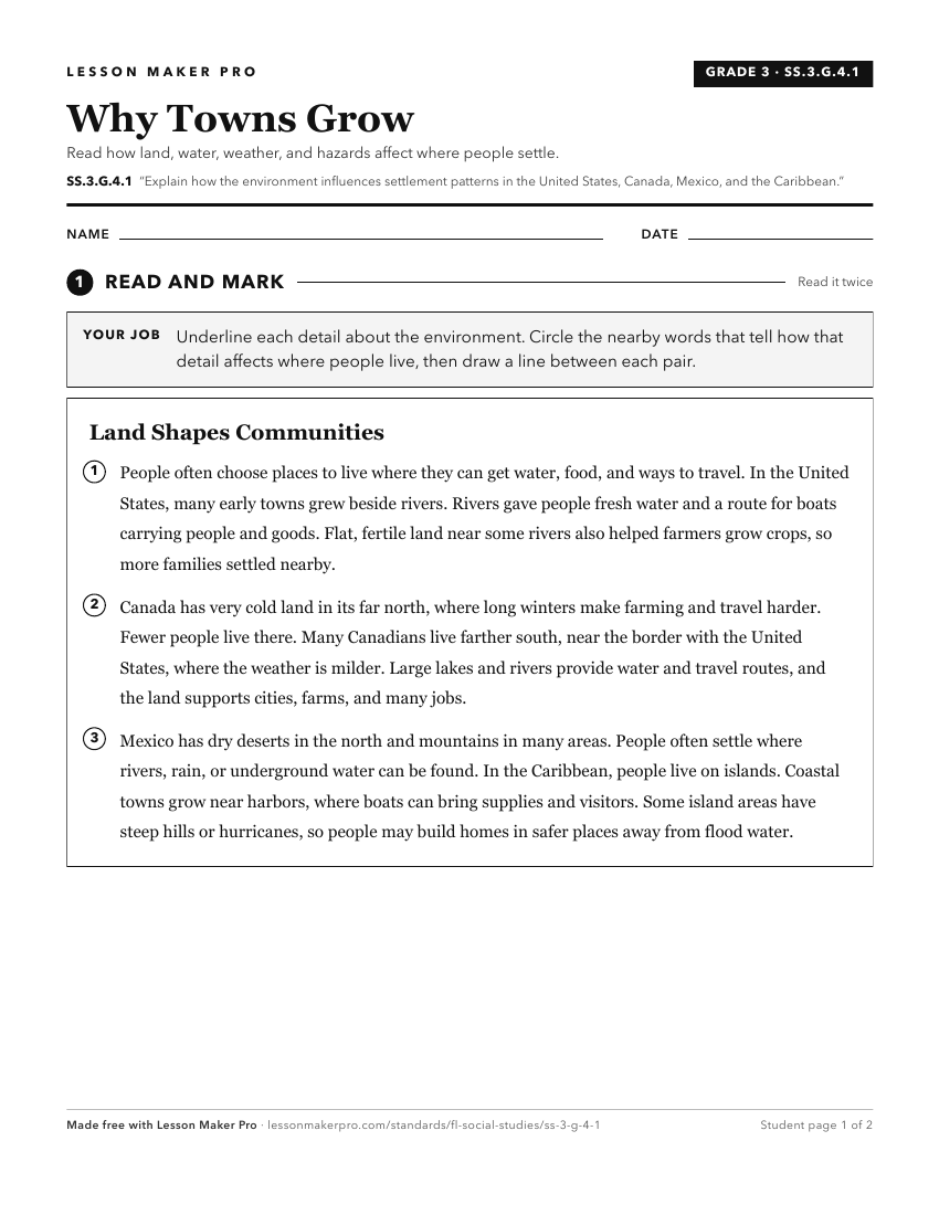
A ready-to-print activity worksheet aligned to SS.3.G.4.1, with an answer key for the teacher on its own page. No account needed.
PDF, US Letter, prints cleanly in black and white.
Download the worksheetKeep exploring
Related Standards
- SS.3.G.3.1
Describe the climate and vegetation in the United States, Canada, Mexico, and the Caribbean.
- SS.7.G.2.3
Explain how major physical characteristics, natural resources, climate, and absolute and relative location have influenced settlement, economies, and inter-gove...
- SS.3.G.4.2
Identify the cultures that have settled the United States, Canada, Mexico, and the Caribbean.
- SS.3.G.2.4
Describe the physical features of the United States, Canada, Mexico, and the Caribbean.
Turn this exact standard into a lesson
Grade, subject, topic, and the complete standard are prefilled. Create one free, no account needed.
Also for this standard:Make a WorksheetMake a QuizMake a Sub Lesson