Alabama Social Studies SS24.6.2c
The Standard
- SS24.6.2
- Compare and contrast the reasons for British, French, and Spanish colonization in North America as well as why individuals migrated to the colonies, including mercantilism, religious persecution, poverty, oppression, and new opportunities.
Locate on a map of North America the areas of European colonization, including colonies of England, France, Russia, and Spain.
2024 Alabama Course of Study: Social Studies
Teacher's field guide
What This Standard Means
What Students Need to Do
- Students find and label areas colonized by England, France, Spain, and Russia on a map of North America. They use landmarks such as the Atlantic coast, the St. Lawrence River, and Alaska to place the areas.
What Mastery Looks Like
- A student can mark English colonies along the Atlantic coast, French colonies around the St. Lawrence River and Mississippi River, Spanish colonies in Mexico and parts of the southern and western United States, and Russian colonies in Alaska. They can point to each area on an unlabeled map.
Common Misconceptions
- Students may place Russian colonies only in Europe or French colonies only in present-day Canada. They may assume England colonized all of what is now the United States.
How to Assess It
- Give students an outline map of North America. Ask them to shade and label one area colonized by each of the four countries.
Lesson moves
Ways to Teach It
Give students outline maps and four colored pencils to shade colonial areas, then have them make a map key.
Ask partners to point out French and English colonial areas using the St. Lawrence River and Atlantic coast as clues.
Hand out cards labeled Alaska, Florida, Atlantic coast, and St. Lawrence River; students place each card on a map and match it to a colonizing country.
Overlay a modern map on a colonial map and have students mark where Alaska, Quebec, Florida, and Mexico fall today.
Free download
Printable SS24.6.2c Worksheet
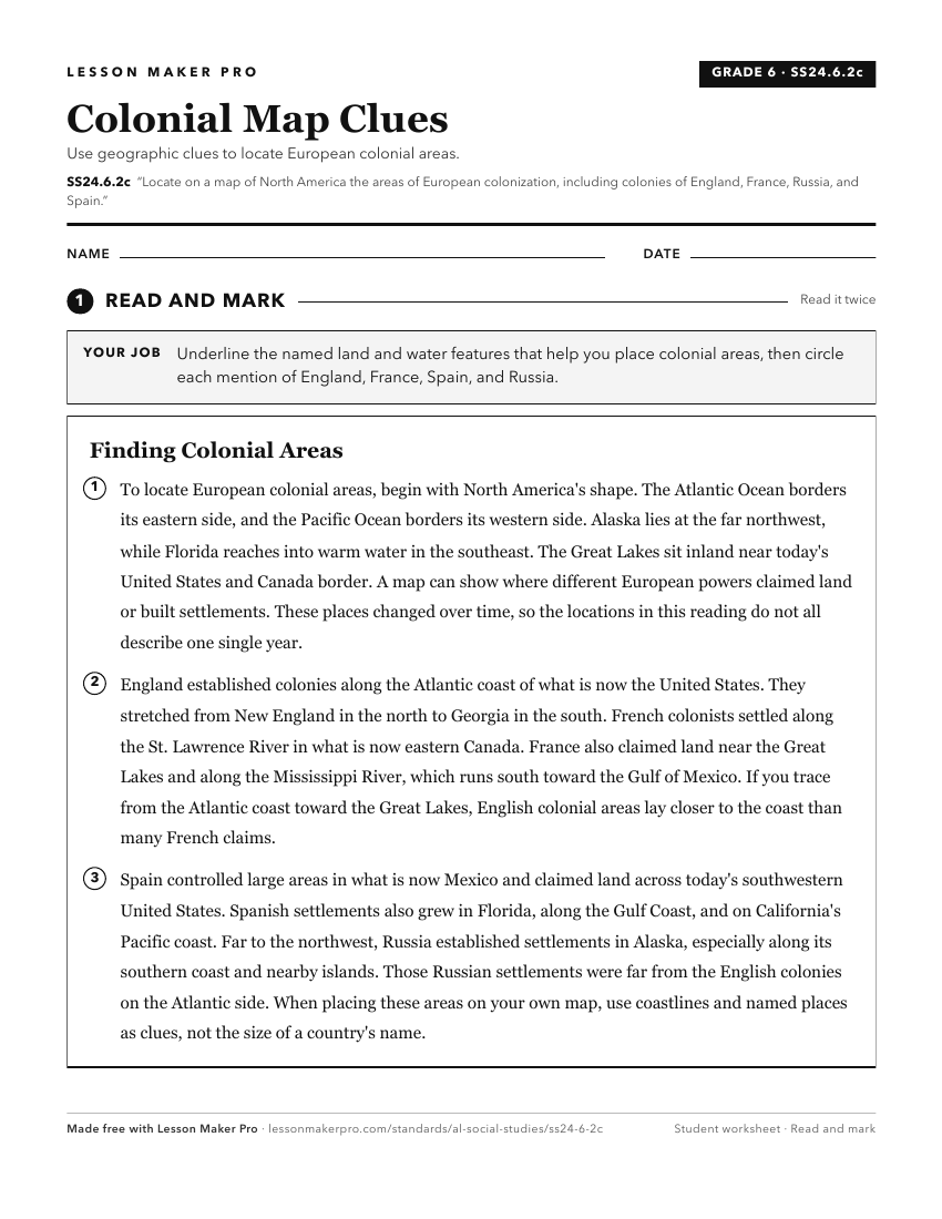
A ready-to-print activity worksheet aligned to SS24.6.2c, with an answer key for the teacher on its own page. No account needed.
PDF, US Letter, prints cleanly in black and white.
Download the worksheetKeep exploring
Related Standards
- SS24.WH.3a
Identify the locations of colonial empires and post-revolutionary countries in Latin America and the Caribbean.
- SS24.4.1a
Map the locations of significant European settlements and major Indigenous nations in North America and Alabama.
- SS24.6.2b
Trace the routes of key European expeditions in North America and describe their effects on colonization in the New World.
- SS24.6.2
Compare and contrast the reasons for British, French, and Spanish colonization in North America as well as why individuals migrated to the colonies, including m...
Turn this exact standard into a lesson
Grade, subject, topic, and the complete standard are prefilled. Create one free, no account needed.
Also for this standard:Make a WorksheetMake a QuizMake a Sub Lesson