Alabama Social Studies SS24.4.1a
The Standard
- SS24.4.1
- Describe cooperation and conflict between the English, French, and Spanish colonists and Indigenous people over the fur trade, slave trade, and land claims.
Map the locations of significant European settlements and major Indigenous nations in North America and Alabama.
2024 Alabama Course of Study: Social Studies
Teacher's field guide
What This Standard Means
What Students Need to Do
- Students locate European settlements on maps of North America and Alabama. They shade broad historic homelands of Indigenous nations, using a key to distinguish settlements from homelands.
What Mastery Looks Like
- A student places Jamestown in Virginia, St. Augustine in Florida, and Mobile on Alabama's Gulf Coast. They shade Haudenosaunee homelands in the Northeast, Creek homelands in eastern Alabama, and Choctaw homelands in western Alabama. Their key uses dots for settlements and shading for homelands.
Common Misconceptions
- Students may place Mobile in central Alabama instead of near the coast. Some mark an Indigenous nation as a single town or draw a sharp border around its homeland. Others assume current state lines were boundaries before colonization.
How to Assess It
- Hand out blank North America and Alabama maps. Ask students to mark Jamestown, St. Augustine, and Mobile with dots, shade broad Haudenosaunee and Creek homelands, and add a key.
Lesson moves
Ways to Teach It
Give pairs outline maps and an atlas; have them mark Jamestown, St. Augustine, and Mobile, then shade Creek and Choctaw homelands.
Ask: Why is Mobile marked with a dot while Creek homelands cover an area? Have students write two sentences.
Run a map relay: call out Quebec, Mobile, Cherokee, or Chickasaw; teams place a dot or shade an area on outline maps.
Use a current Alabama road map to find Mobile and Wetumpka, then find historic Mobile and Fort Toulouse on a colonial map.
Free download
Printable SS24.4.1a Worksheet
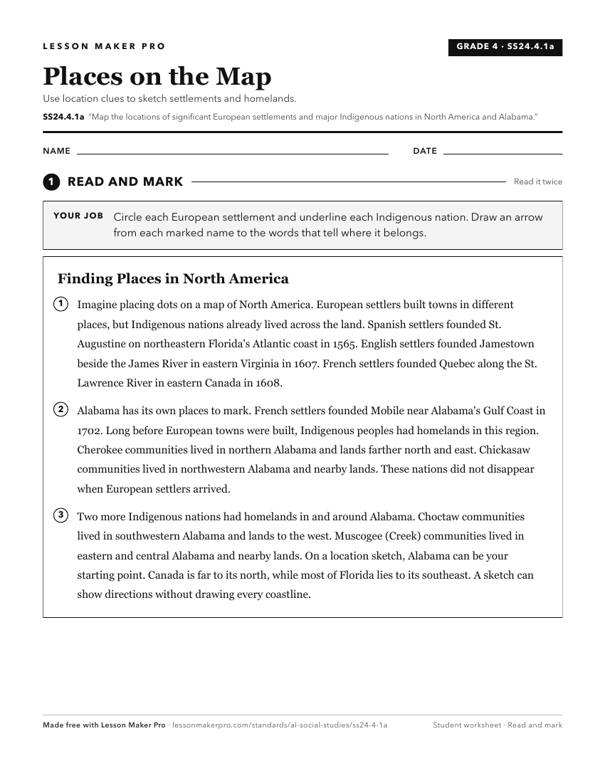
A ready-to-print activity worksheet aligned to SS24.4.1a, with an answer key for the teacher on its own page. No account needed.
PDF, US Letter, prints cleanly in black and white.
Download the worksheetKeep exploring
Related Standards
- SS24.6.2c
Locate on a map of North America the areas of European colonization, including colonies of England, France, Russia, and Spain.
- SS24.AS.6a
Compare and contrast the major Native American tribes in Alabama of the colonial period and nineteenth century.
- SS24.AS.6
Identify the locations of the major Native American tribes of Alabama during the colonial period into the nineteenth century.
- SS24.6.2b
Trace the routes of key European expeditions in North America and describe their effects on colonization in the New World.
Turn this exact standard into a lesson
Grade, subject, topic, and the complete standard are prefilled. Create one free, no account needed.
Also for this standard:Make a WorksheetMake a QuizMake a Sub Lesson