Alabama Social Studies SS24.4.1
Standard Cluster
Describe cooperation and conflict between the English, French, and Spanish colonists and Indigenous people over the fur trade, slave trade, and land claims. 1a Map the locations of significant European settlements and major Indigenous nations in North America and Alabama.
2024 Alabama Course of Study: Social Studies
Cluster contents
Standards in This Cluster
SS24.4.1 is a cluster heading. These are the individual standards under it.
Teacher's field guide
What This Cluster Means
What Students Need to Do
- Students locate English, French, and Spanish settlements and Indigenous homelands on maps of North America and Alabama. They explain how fur trading, the trade in enslaved people, and land claims led to cooperation or conflict.
What Mastery Looks Like
- Students can place Jamestown, Mobile, and St. Augustine on a map and locate Powhatan, Creek, Choctaw, Chickasaw, and Cherokee homelands. They can explain a French-Choctaw fur trade partnership, an English land claim in Powhatan territory, and slave raids by Carolina traders and their allies.
Common Misconceptions
- Students may think all Indigenous nations responded to colonists in the same way, or that trade meant the groups never fought. They may treat Indigenous homelands as empty land or try to fit them neatly inside today's state lines.
How to Assess It
- On a blank map, have students mark Mobile, Jamestown, St. Augustine, and the Creek and Powhatan homelands. Ask them to write one example of cooperation through fur trading and one example of conflict over land or slave trading.
Lesson moves
Ways to Teach It
Give pairs a blank map and colored pencils; mark Jamestown, Mobile, and St. Augustine, then shade Creek, Choctaw, Chickasaw, Cherokee, and Powhatan homelands.
Ask students to write: Why might the Choctaw trade furs with French settlers but resist settlers claiming hunting land?
Sort three cards: 'French traders exchanged cloth for furs,' 'Carolina traders sold enslaved captives,' and 'English settlers claimed Powhatan land'; explain each choice.
Compare an Alabama road map with a homelands map; find Choctaw County, Cherokee County, and the city of Chickasaw.
Free download
Printable SS24.4.1 Worksheet
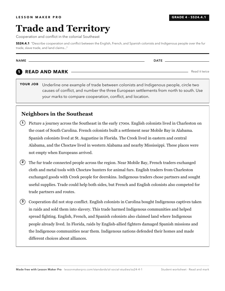
A ready-to-print activity worksheet aligned to SS24.4.1, with an answer key for the teacher on its own page. No account needed.
PDF, US Letter, prints cleanly in black and white.
Download the worksheetKeep exploring
Related Standards
- SS24.3.10
Explain why interactions and conflicts occurred between Europeans and Indigenous peoples in the Southeast from 1519 to the early 1700s, including differing beli...
- SS24.6.3a
Summarize how interactions between colonists and Indigenous peoples resulted in both conflict and cooperation, including economic and military alliances.
- SS24.6.3
Describe the effects of European expeditions and colonization on the economic, geographic, and social conditions of Indigenous peoples during the fifteenth thro...
- SS24.6.2
Compare and contrast the reasons for British, French, and Spanish colonization in North America as well as why individuals migrated to the colonies, including m...
Turn this cluster into a lesson
Grade, subject, topic, and the complete cluster are prefilled. Create one free, no account needed.
Also for this cluster:Make a WorksheetMake a QuizMake a Sub Lesson