Alabama Social Studies SS24.3.9a
The Standard
- SS24.3.9
- Explain reasons for European expeditions and the establishment of early settlements and colonies in North America during the sixteenth and seventeenth centuries.
Trace and compare routes of early explorers of North and South America.
2024 Alabama Course of Study: Social Studies
Teacher's field guide
What This Standard Means
What Students Need to Do
- Students follow two explorers’ paths from Europe across the Atlantic on a map. They name where each trip began and ended, then tell how the routes were alike and different.
What Mastery Looks Like
- A student maps Cabot’s trip from England to Newfoundland and Vespucci’s trip from Spain to Venezuela. They explain that both crossed the Atlantic, but reached different parts of the Americas.
Common Misconceptions
- Students may put Venezuela in North America or draw both explorers ending in Newfoundland. Some reverse the arrows and show the ships leaving the Americas for Europe.
How to Assess It
- Give students a map labeled England, Spain, Newfoundland, Venezuela, and Atlantic Ocean. Ask them to draw the two routes in different colors and write one similarity and one difference.
Lesson moves
Ways to Teach It
Give pairs blue and red yarn to lay Cabot’s and Vespucci’s paths across a paper map, then label each landing place.
Show two colored routes on a map and ask, “Where did each ship land, and which one traveled farther south?”
Hand out place cards for England, Spain, Newfoundland, and Venezuela; teams match each explorer’s starting and ending points, then draw arrows on mini maps.
On a world map, mark a present-day flight from London to Newfoundland, then compare its Atlantic crossing with Cabot’s.
Free download
Printable SS24.3.9a Worksheet
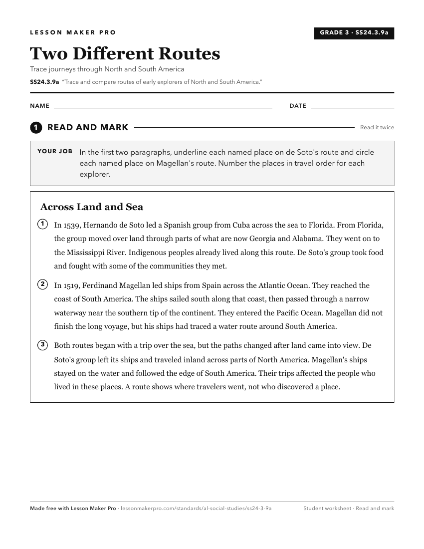
A ready-to-print activity worksheet aligned to SS24.3.9a, with an answer key for the teacher on its own page. No account needed.
PDF, US Letter, prints cleanly in black and white.
Download the worksheetKeep exploring
Related Standards
- SS24.8.11c
Analyze the consequences of initial contact between Europeans and Indigenous peoples in the Americas.
- SS24.4.1a
Map the locations of significant European settlements and major Indigenous nations in North America and Alabama.
- SS24.6.2b
Trace the routes of key European expeditions in North America and describe their effects on colonization in the New World.
- SS24.6.6
Trace the economic and cultural interactions across continents and the colonies resulting from the triangular trade routes, including the forced migration of Af...
Turn this exact standard into a lesson
Grade, subject, topic, and the complete standard are prefilled. Create one free, no account needed.
Also for this standard:Make a WorksheetMake a QuizMake a Sub Lesson