Alabama Social Studies SS24.2.7
The Standard
Identify the seven continents, the five oceans, and the Equator shown on maps, globes, and satellite and digital images.
2024 Alabama Course of Study: Social Studies
Teacher's field guide
What This Standard Means
What Students Need to Do
- Students name and point to all seven continents and five oceans on maps and globes. They recognize them in satellite and digital views. They find the Equator when it is marked.
What Mastery Looks Like
- On a blank world map, students label all seven continents and five oceans and draw the Equator. They can find the same land and water on a globe and in a satellite view, even when the view is turned.
Common Misconceptions
- Students may confuse Antarctica with the Arctic or think Greenland is a continent. Some think an ocean ends at the edge of a map. Others expect to see the Equator as a physical line in a satellite photo.
How to Assess It
- Give students a blank world map. Ask them to label the continents and oceans and draw the Equator.
Lesson moves
Ways to Teach It
Give pairs a globe and sticky notes to label the continents and oceans, then have them wrap string around the Equator.
Show a map and a satellite photo, then ask, “Why can’t we see the Equator in the photo?”
Play globe relay: call out a continent or ocean, and have partners point to it before passing the globe.
Trace a ship route from Brazil to Nigeria on a map; students name the ocean crossed and the continents at each end.
Free download
Printable SS24.2.7 Worksheet
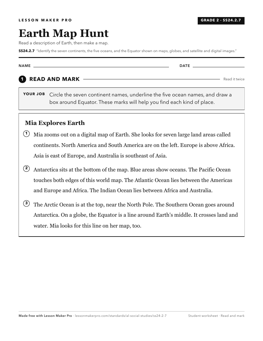
A ready-to-print activity worksheet aligned to SS24.2.7, with an answer key for the teacher on its own page. No account needed.
PDF, US Letter, prints cleanly in black and white.
Download the worksheetKeep exploring
Related Standards
- SS24.7.1d
Describe how geographic features and political entities are organized and labeled, including continents, countries, and oceans.
- SS24.K.8
Identify landforms and bodies of water on maps, globes, and satellite and digital images.
- SS24.1.9
Differentiate among landforms, bodies of water, and other physical features on maps, globes, and satellite and digital images.
- SS24.3.1a
Identify the Equator, International Date Line, Prime Meridian, Tropic of Capricorn, and Tropic of Cancer, using cardinal and intermediate directions.
Turn this exact standard into a lesson
Grade, subject, topic, and the complete standard are prefilled. Create one free, no account needed.
Also for this standard:Make a WorksheetMake a QuizMake a Sub Lesson