Alabama Science 4.13
The Standard
Analyze and interpret data from maps to describe patterns of Earth’s features on land and in the ocean.
2023 Alabama Course of Study: Science · Earth’s Systems
Teacher's field guide
What This Standard Means
What Students Need to Do
- Students use map keys to find high and low land and shallow and deep water. They look for features that form lines or groups and point to map evidence for the patterns they notice.
What Mastery Looks Like
- A student can trace a mountain chain on a land map and a deep trench on an ocean map. They use the colors or numbers in each key to explain what they found.
Common Misconceptions
- Students may assume all blue areas have the same depth or guess what colors mean without checking the key. They may point to one mountain instead of noticing a chain.
How to Assess It
- Give students a physical map with an elevation and ocean-depth key. Ask, "Circle a line of high land and a line of deep ocean. How does the key show each?"
Lesson moves
Ways to Teach It
Give pairs printed elevation and ocean-depth maps and colored pencils; have them trace a mountain chain and a deep trench.
Ask, "Do the highest land areas form a line or sit alone?" Have students point to two places that support their answer.
Play map-key match: show four shaded map locations and have teams label each as mountain, plain, shallow water, or deep water.
Use a harbor depth map to pick a path for a large boat that avoids shallow water; explain the choice using the key.
Free download
Printable 4.13 Worksheet
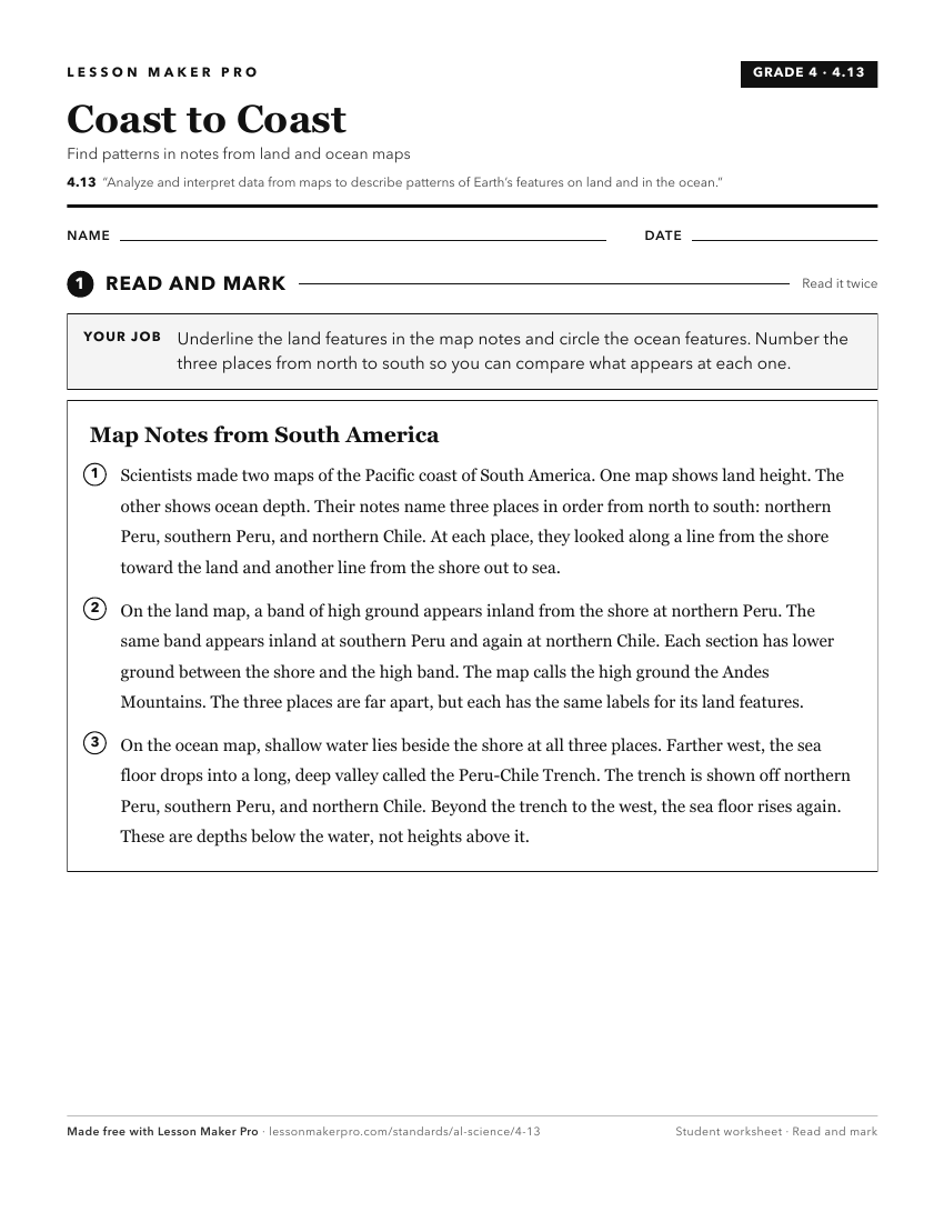
A ready-to-print activity worksheet aligned to 4.13, with an answer key for the teacher on its own page. No account needed.
PDF, US Letter, prints cleanly in black and white.
Download the worksheetKeep exploring
Related Standards
- 2.8
Use models to distinguish between the shapes and kinds of land and water on Earth.
- ESS.7.e
Analyze and interpret data to create a surface map, including high-pressure and low-pressure systems, isobars, wind barbs, cloud types, precipitation, and front...
- 6.10
Use observations and data from investigations to demonstrate how the sun, air, land, and water affect Earth’s climate.
- ESS.4.b
Analyze and interpret data to explain the effects of mechanical and chemical weathering and erosion on Earth’s materials by wind, water, ice, and gravity.
Turn this exact standard into a lesson
Grade, subject, topic, and the complete standard are prefilled. Create one free, no account needed.
Also for this standard:Make a WorksheetMake a QuizMake a Sub Lesson