Alabama Science 2.8
The Standard
Use models to distinguish between the shapes and kinds of land and water on Earth.
2023 Alabama Course of Study: Science · Earth’s Systems
Teacher's field guide
What This Standard Means
What Students Need to Do
- Students use maps, globes, and clay models to tell land from water. They identify features such as hills, valleys, rivers, and lakes by their shapes.
What Mastery Looks Like
- Given an unfamiliar model, a student can point out land and water features and name them. They can explain that an island is land surrounded by water, while a lake is water surrounded by land.
Common Misconceptions
- Students may mix up islands and lakes because both can have closed outlines on a map. They may call a valley a river, though a valley is low land that may or may not contain water.
How to Assess It
- Give students a sketch of a river flowing into a lake with an island. Ask them to label each feature and explain how they identified the island.
Lesson moves
Ways to Teach It
Shape clay into a hill, valley, and island; add blue paper for a winding river and lake, then label each.
Show sketches of an island and a lake, and ask students to explain which one is land surrounded by water.
Sort picture cards of hills, valleys, rivers, and lakes into land and water groups, then name each shape.
Use an online map to find the nearest river or lake and trace where its water meets land.
Free download
Printable 2.8 Worksheet
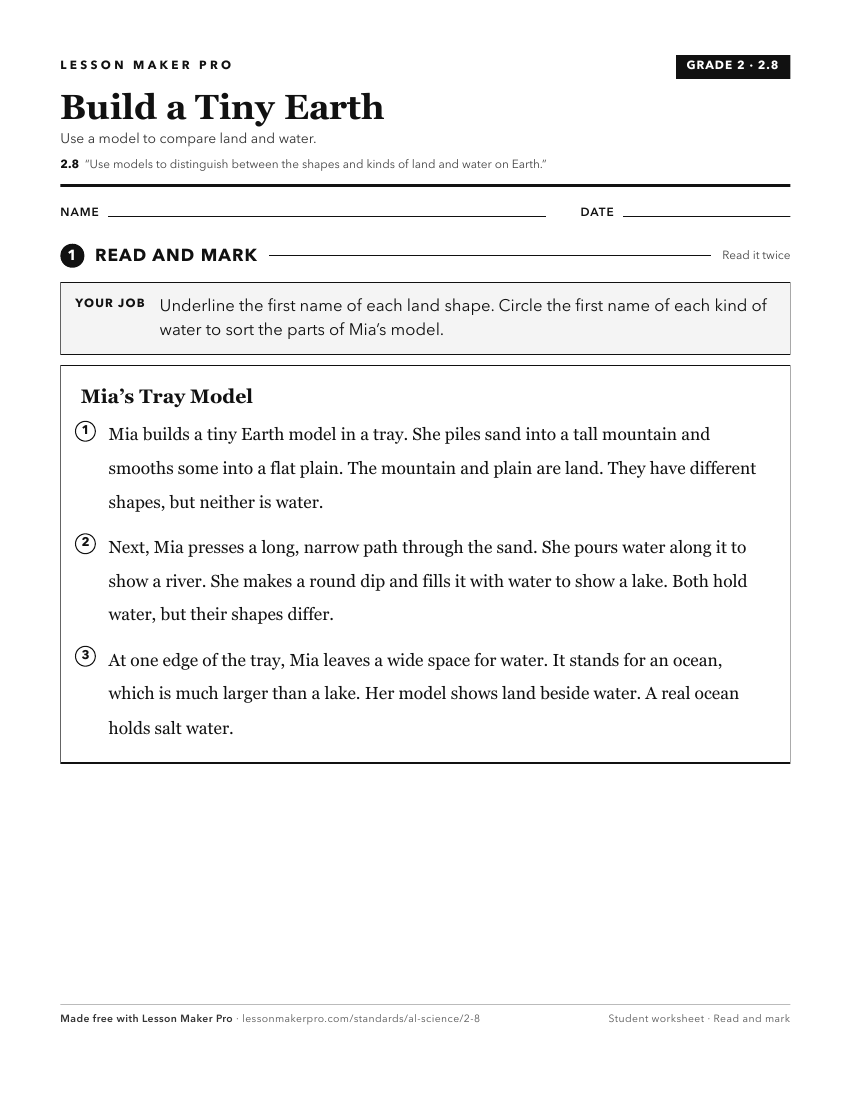
A ready-to-print activity worksheet aligned to 2.8, with an answer key for the teacher on its own page. No account needed.
PDF, US Letter, prints cleanly in black and white.
Download the worksheetKeep exploring
Related Standards
- 4.13
Analyze and interpret data from maps to describe patterns of Earth’s features on land and in the ocean.
- 5.13
Construct a model to represent the distribution of freshwater and saltwater on Earth.
- 6.5.a
Develop and use models to demonstrate the processes that form rocks and cycle Earth’s materials.
- 5.12
Use a model to represent how any two of Earth's systems (atmosphere, biosphere, geosphere, and hydrosphere) interact and support life.
Turn this exact standard into a lesson
Grade, subject, topic, and the complete standard are prefilled. Create one free, no account needed.
Also for this standard:Make a WorksheetMake a QuizMake a Sub Lesson