Virginia SOL WG.2.a
The Standard
- WG.2
- The student will apply history and social science skills to evaluate the significance of natural, human, and capital resources by
comparing the distribution of major natural resources throughout world regions
Virginia Standards of Learning for History and Social Science · The student will apply history and social science skills to evaluate the significance of natural, human, and capital resources by
Teacher's field guide
What This Standard Means
What Students Need to Do
- Students locate major resources such as petroleum, coal, minerals, forests, freshwater, and fertile soil on world maps. They compare regions and describe patterns of abundance and scarcity.
What Mastery Looks Like
- Given thematic maps, students identify resource concentrations and compare at least two world regions. They support each comparison with specific map symbols, labels, or data.
Common Misconceptions
- Students may assume resources are spread evenly or that every country within a region has the same resources. They may also confuse resource production with resource use.
How to Assess It
- Give students maps of petroleum, coal, and freshwater. Ask them to name one resource-rich region and one resource-poor region, then support the comparison with map evidence.
Lesson moves
Ways to Teach It
Groups place resource cards on a blank world map using an atlas, then write three observations about the patterns.
Ask students to write: How do petroleum resources in Southwest Asia compare with those in Europe? Use two map details.
Run a map relay where teams match resource cards to regions and explain one regional comparison before earning a point.
Students examine five product labels, identify each product's natural resource, and map a likely region where that resource originates.
Free download
Printable WG.2.a Worksheet
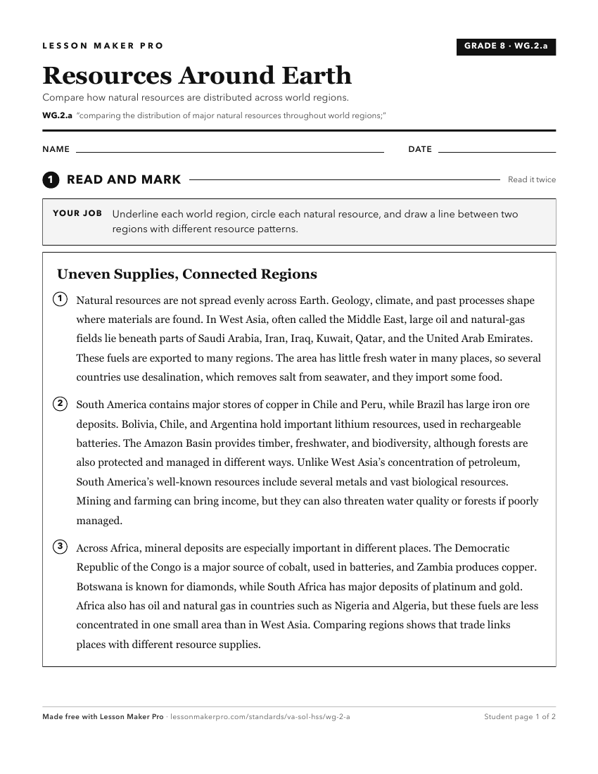
A ready-to-print activity worksheet aligned to WG.2.a, with an answer key for the teacher on its own page. No account needed.
PDF, US Letter, prints cleanly in black and white.
Download the worksheetKeep exploring
Related Standards
- WG.10.a
identifying and analyzing the location of major geographic regions and major cities on maps and globes
- WG.11.a
identifying and analyzing the location of major geographic regions and major cities on maps and globes
- WG.16.a
examining factors that influence the distribution of economic activities and trade
- WG.2.b
showing the influence of resources on patterns of economic activity and land use
Turn this exact standard into a lesson
Grade, subject, topic, and the complete standard are prefilled. Create one free, no account needed.
Also for this standard:Make a WorksheetMake a QuizMake a Sub Lesson