Virginia SOL WG.17.a
The Standard
- WG.17
- The student will apply history and social science skills to analyze strategic geographic features and resources by
identifying and describing examples of disputed borders and explaining the reasons for the disputes
Virginia Standards of Learning for History and Social Science · The student will apply history and social science skills to analyze strategic geographic features and resources by
Teacher's field guide
What This Standard Means
What Students Need to Do
- Students locate a contested area on a map and name the governments or groups making claims. They explain how history, identity, resources, security, or physical geography drive those claims.
What Mastery Looks Like
- Given a map and short sources, students identify the claimants, the area at stake, and at least two causes. They support each cause with evidence and separate causes from effects.
Common Misconceptions
- Students may treat borders as permanent lines rather than political agreements that can change. They may assume every dispute is caused by religion or ethnic difference. They may also confuse causes with outcomes, such as migration or fighting.
How to Assess It
- Display a labeled political map of Kashmir. Ask students to name the governments claiming territory and explain two reasons for the competing claims, citing one class fact for each.
Lesson moves
Ways to Teach It
Pairs layer transparent maps of ethnic groups, resources, and former borders over one disputed region, then circle where claims overlap.
Discuss or write: Which claim seems strongest in the case study, and what map or source evidence supports your judgment?
Play Border Dispute Sort: teams match case cards to causes such as resources, identity, security, or past treaties.
Have students advise a shipping company how a disputed maritime boundary could affect routes, costs, and access to ports.
Free download
Printable WG.17.a Worksheet
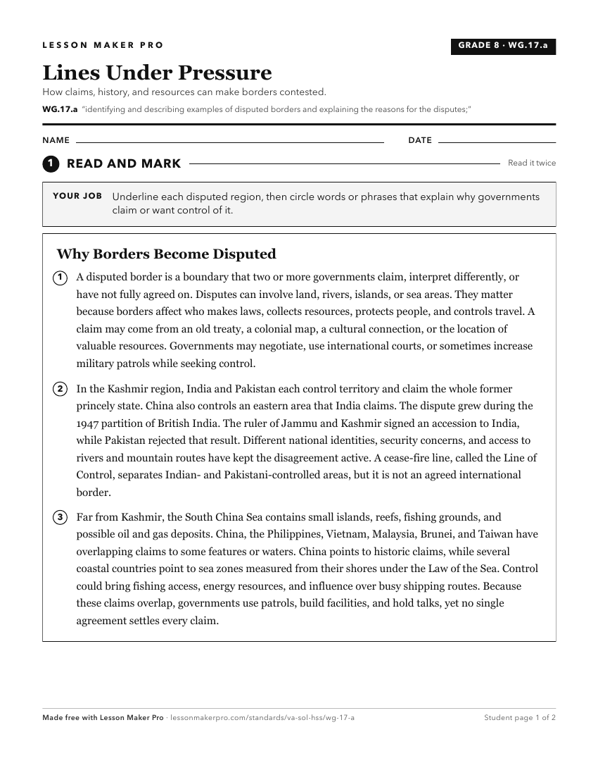
A ready-to-print activity worksheet aligned to WG.17.a, with an answer key for the teacher on its own page. No account needed.
PDF, US Letter, prints cleanly in black and white.
Download the worksheetKeep exploring
Related Standards
- 2.8.b
explaining the relationships between the colonies and Great Britain
- WG.17.b
describing and explaining examples of the different types of conflicts that may erupt between and among nations
- WG.14.a
identifying and describing characteristics that contribute to cultural identity, cultural groups, and cultural landscapes
- WG.17.c
analyzing the types of conflicts and cooperation that can occur over the use of rivers and bodies of water.
Turn this exact standard into a lesson
Grade, subject, topic, and the complete standard are prefilled. Create one free, no account needed.
Also for this standard:Make a WorksheetMake a QuizMake a Sub Lesson