Virginia SOL S.VS.b
The Standard
- S.VS
- The student will apply history and social science skills to the content by
applying geographic skills to identify and understand geographic features and connections
Virginia Standards of Learning for History and Social Science
Teacher's field guide
What This Standard Means
What Students Need to Do
- Students read maps using titles, legends, compass roses, symbols, and scale. They locate physical and human features, then explain how location affects travel, settlement, and trade.
What Mastery Looks Like
- Students accurately locate and label features on a map. They use map evidence to explain a connection, such as why towns developed near rivers or roads.
Common Misconceptions
- Students may confuse physical features with human-made features or treat map symbols as pictures. They may name two nearby places without explaining how the places are connected.
How to Assess It
- Give students a Virginia map and ask them to identify one physical feature, one human feature, and one connection between them using map evidence.
Lesson moves
Ways to Teach It
Give pairs a Virginia map, string, and sticky notes to mark rivers, mountains, cities, and possible travel routes.
Ask students to write: How could a river help one community connect with another community?
Play Map Detective by giving clues based on direction, symbols, and distance for students to identify hidden locations.
Compare a local road map with a physical map, then identify how landforms may have shaped roads and town locations.
Free download
Printable S.VS.b Worksheet
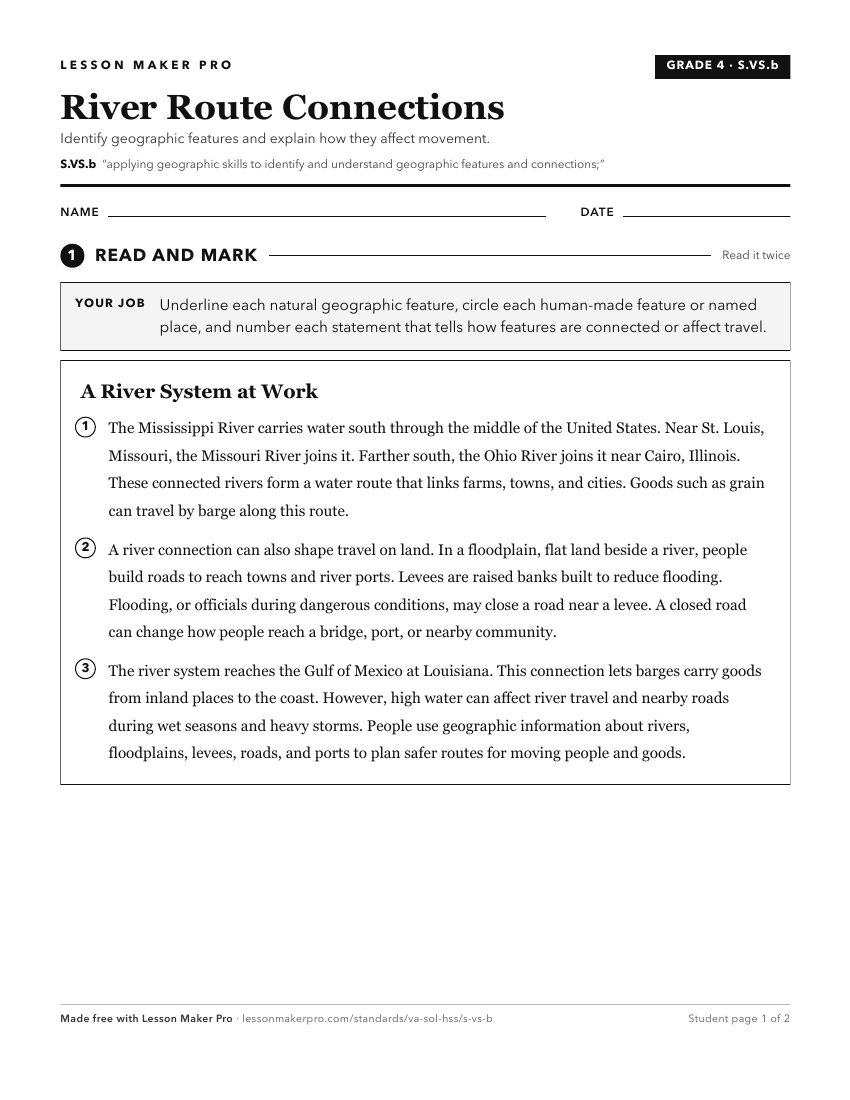
A ready-to-print activity worksheet aligned to S.VS.b, with an answer key for the teacher on its own page. No account needed.
PDF, US Letter, prints cleanly in black and white.
Download the worksheetKeep exploring
Related Standards
- S.3.b
applying geographic skills to identify and understand geographic features and connections
- S.2.b
applying geographic skills to identify and understand geographic features and connections
- S.K.b
applying geographic skills to identify and understand geographic features
- S.1.b
applying geographic skills to identify and understand geographic features
Turn this exact standard into a lesson
Grade, subject, topic, and the complete standard are prefilled. Create one free, no account needed.
Also for this standard:Make a WorksheetMake a QuizMake a Sub Lesson