Virginia SOL S.3.b
The Standard
- S.3
- The student will apply history and social science skills to the content by
applying geographic skills to identify and understand geographic features and connections
Virginia Standards of Learning for History and Social Science
Teacher's field guide
What This Standard Means
What Students Need to Do
- Students use maps, globes, legends, symbols, and compass roses to locate places and landforms. They explain how features such as rivers, roads, and mountains connect or separate places.
What Mastery Looks Like
- Students accurately locate a named place or feature and describe its position using direction words. They use map evidence to explain one connection between places.
Common Misconceptions
- Students may confuse map symbols with the actual size or appearance of a feature. They may reverse east and west or assume every map places north at the top without checking.
How to Assess It
- Give students a simple map with a legend and compass rose. Ask them to identify two features and write how one feature connects two places.
Lesson moves
Ways to Teach It
Build a classroom floor map with tape, then place labels for rivers, roads, mountains, and towns based on oral directions.
Show a local map and ask, “How do roads, rivers, or landforms affect where people travel or build?”
Play Map Symbol Match by pairing feature cards with symbols, then placing each card in the correct map location.
Trace a familiar trip to school on a map and identify the roads, waterways, landmarks, or boundaries crossed.
Free download
Printable S.3.b Worksheet
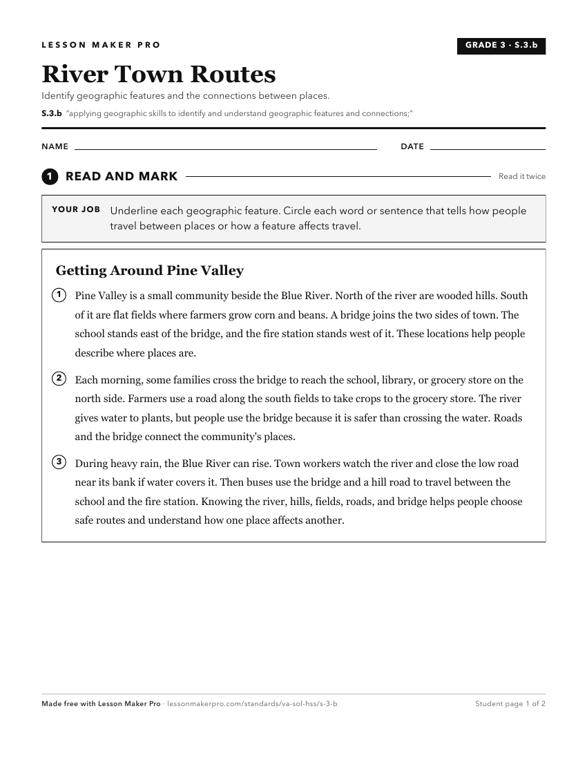
A ready-to-print activity worksheet aligned to S.3.b, with an answer key for the teacher on its own page. No account needed.
PDF, US Letter, prints cleanly in black and white.
Download the worksheetKeep exploring
Related Standards
Turn this exact standard into a lesson
Grade, subject, topic, and the complete standard are prefilled. Create one free, no account needed.
Also for this standard:Make a WorksheetMake a QuizMake a Sub Lesson