Virginia SOL S.1.b
The Standard
- S.1
- The student will apply history and social science skills to the content by
applying geographic skills to identify and understand geographic features
Virginia Standards of Learning for History and Social Science
Teacher's field guide
What This Standard Means
What Students Need to Do
- Students use maps, globes, and photographs to find features such as mountains, rivers, lakes, roads, and bridges. They describe each feature's location and how it affects people.
What Mastery Looks Like
- Given a simple map, students can name features and locate them using words such as near, beside, and between. They can explain one way a feature shapes a place.
Common Misconceptions
- Students may call every body of water an ocean or confuse mountains with hills. They may also mix up natural features, such as rivers, with built features, such as roads.
How to Assess It
- Give students a simple map with a hill, river, road, and bridge. Ask them to circle two natural features, box one built feature, and describe one location.
Lesson moves
Ways to Teach It
Build a landform tray with clay and blue yarn, then place labels for mountain, river, lake, road, and bridge.
Show a town beside a river and ask, "How might the river help people, and what problem might it cause?"
Play Feature Hunt: students draw a map card, locate the matching feature on a classroom map, and describe its position.
Walk around the school grounds, photograph natural and built features, then mark them on a simple class map.
Free download
Printable S.1.b Worksheet
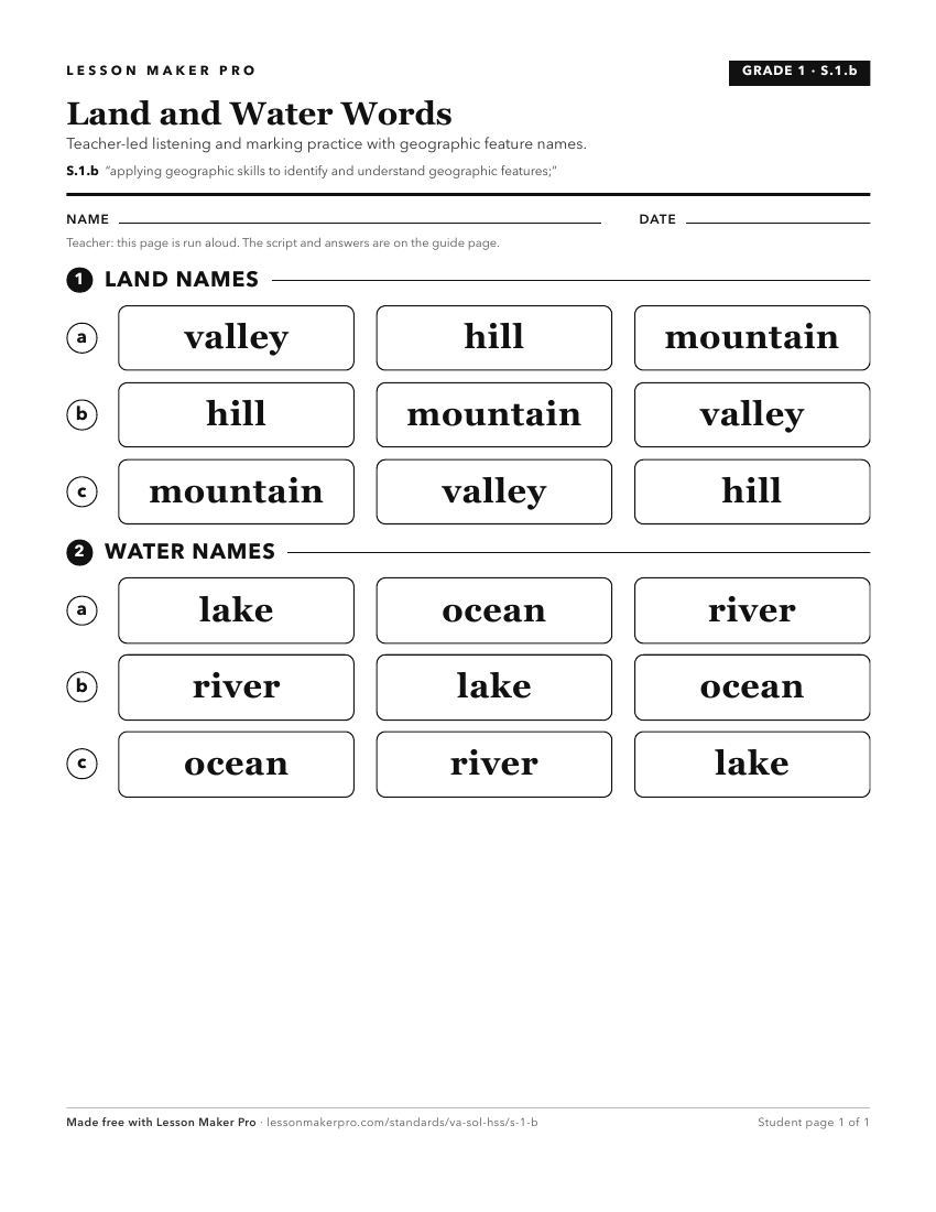
A ready-to-print activity worksheet aligned to S.1.b, with an answer key for the teacher on its own page. No account needed.
PDF, US Letter, prints cleanly in black and white.
Download the worksheetKeep exploring
Related Standards
- S.3.b
applying geographic skills to identify and understand geographic features and connections
- S.2.b
applying geographic skills to identify and understand geographic features and connections
- S.K.b
The Kindergarten version of this standard.
- S.VS.b
applying geographic skills to identify and understand geographic features and connections
Turn this exact standard into a lesson
Grade, subject, topic, and the complete standard are prefilled. Create one free, no account needed.
Also for this standard:Make a WorksheetMake a QuizMake a Sub Lesson