Virginia SOL K.7.c
The Standard
- K.7
- The student will apply history and social science skills to demonstrate an understanding of maps and globes by
identifying land and bodies of water in the local community
Virginia Standards of Learning for History and Social Science
Teacher's field guide
What This Standard Means
What Students Need to Do
- Students recognize land and water features near their home or school. They point to and name examples in photographs, simple maps, and familiar places.
What Mastery Looks Like
- A student can identify a field, hill, or park as land and a river, pond, or lake as water. The student can locate each on a simple community map.
Common Misconceptions
- Students may think every blue area is water or that only oceans count as bodies of water. They may also confuse roads with rivers on simple maps.
How to Assess It
- Show a map with a school, park, pond, and stream. Ask students to circle the water features and point to one land feature.
Lesson moves
Ways to Teach It
Build a community model in a tray using clay for land and shallow water for a pond or stream.
Show two local photographs and ask, "Where do you see land, and where do you see water?"
Play a sorting game with picture cards labeled land or water, then have students explain one choice.
Take a short schoolyard walk with a picture checklist and mark each land or water feature students notice.
Free download
Printable K.7.c Worksheet
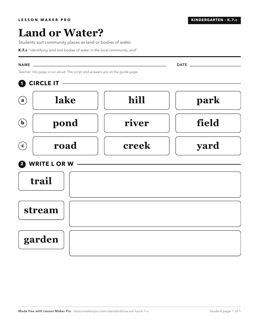
A ready-to-print activity worksheet aligned to K.7.c, with an answer key for the teacher on its own page. No account needed.
PDF, US Letter, prints cleanly in black and white.
Download the worksheetKeep exploring
Related Standards
- VS.1.c
locating, identifying, and describing the impact of Virginia’s bodies of water on its history, economy, and culture
- 3.3.a
identifying and locating major bodies of water
- 1.7.a
identifying landforms and bodies of water of Virginia and describing how they affect the way people live
- WG.14.a
identifying and describing characteristics that contribute to cultural identity, cultural groups, and cultural landscapes
Turn this exact standard into a lesson
Grade, subject, topic, and the complete standard are prefilled. Create one free, no account needed.
Also for this standard:Make a WorksheetMake a QuizMake a Sub Lesson