Virginia SOL 3.3.a
The Standard
- 3.3
- The student will apply history and social science skills to describe major geographic features of ancient societies on a world map by
identifying and locating major bodies of water
Virginia Standards of Learning for History and Social Science
Teacher's field guide
What This Standard Means
What Students Need to Do
- Students name the major bodies of water shown on a map. They place each name correctly and describe its location using nearby land and cardinal directions.
What Mastery Looks Like
- Given an unlabeled map and a word bank, students place the water names in the correct locations. They can give a clue such as, “The Atlantic Ocean is east of North America.”
Common Misconceptions
- Students may place labels on nearby land or switch bodies of water with similar positions. They may treat a river as one point or confuse a bay with an ocean.
How to Assess It
- Give students a blank map and a four-name word bank from the unit. Ask them to label all four and write one cardinal-direction clue for one.
Lesson moves
Ways to Teach It
Give pairs a laminated map, water-name cards, and removable putty, then have them place each card and check with an atlas.
Ask, “How would you describe the location of this body of water without pointing?” and require two nearby land references.
Play Map Relay: call a water name, and teams race to place a blue counter on the correct map location.
Plan a cargo ship route between two ports, then list the major bodies of water the ship would cross.
Free download
Printable 3.3.a Worksheet
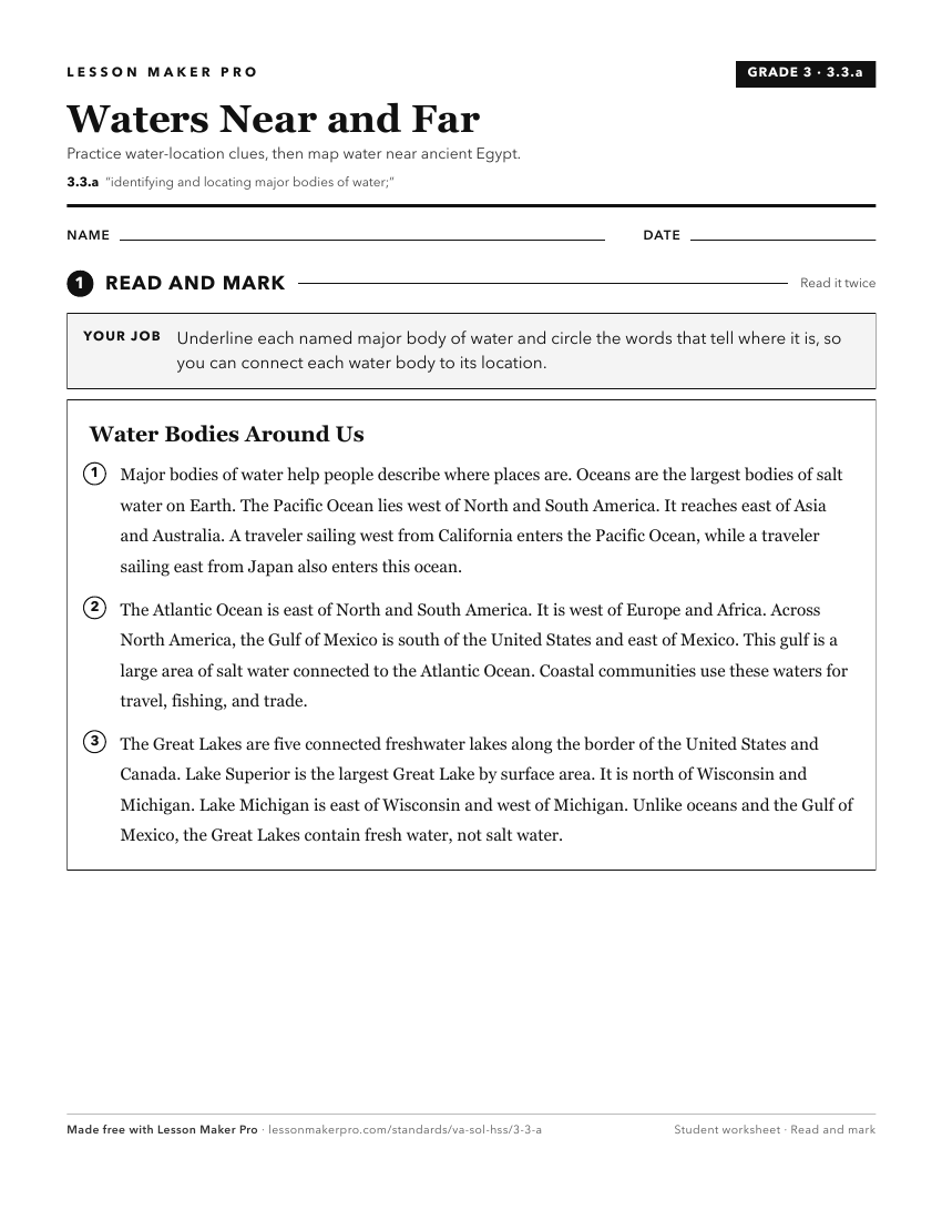
A ready-to-print activity worksheet aligned to 3.3.a, with an answer key for the teacher on its own page. No account needed.
PDF, US Letter, prints cleanly in black and white.
Download the worksheetKeep exploring
Related Standards
- 2.11.b
identifying major rivers, mountain ranges, lakes, and other physical features in the United States
- WG.6.a
identifying and analyzing the location of major geographic regions and major cities on maps and globes
- WG.9.a
identifying and analyzing the location of major geographic regions and major cities on maps and globes
- K.7.c
identifying land and bodies of water in the local community
Turn this exact standard into a lesson
Grade, subject, topic, and the complete standard are prefilled. Create one free, no account needed.
Also for this standard:Make a WorksheetMake a QuizMake a Sub Lesson