Virginia SOL 3.8
SOL Standard (Skills Cluster)
The student will apply history and social science skills to describe the geographic, political, economic, and social structures and innovations of the ancient empire of Mali by locating the ancient empire of Mali on a map of the world; connecting the geography of the ancient empire of Mali and its economy; identifying and explaining the government; describing the arts and innovations; and identifying and explaining the architecture and its influence in the world.
Virginia Standards of Learning for History and Social Science
Cluster contents
Skills in This Standard
3.8 is a Standards of Learning history and social science standard. These are the skills expectations under it.
- 3.8.a
locating the ancient empire of Mali on a map of the world
- 3.8.b
connecting the geography of the ancient empire of Mali and its economy
- 3.8.c
identifying and explaining the government
- 3.8.d
describing the arts and innovations
- 3.8.e
identifying and explaining the architecture and its influence in the world
Teacher's field guide
What This Cluster Means
What Students Need to Do
- Students locate the Mali Empire in West Africa and identify the Niger River, Sahara, and major trade routes. They explain how gold, salt, farming, and trade supported wealth, and how the mansa ruled through officials and local leaders. They describe griots, learning in Timbuktu, and mud-brick mosques, then explain how these traditions and designs influenced later communities.
What Mastery Looks Like
- On an unlabeled map, a student can place the empire in West Africa and use geographic evidence to explain trade and settlement. The student can explain the mansa’s role and connect trade taxes to imperial wealth. The student gives accurate examples of storytelling, scholarship, or architecture and explains one lasting influence.
Common Misconceptions
- Students often confuse the historic empire with the modern country of Mali or place it in eastern Africa. They may picture the whole region as desert and overlook the Niger River, farmland, and cities. Some say Mali became wealthy simply by owning gold, missing salt trade, trade routes, and taxes.
How to Assess It
- Give students a blank map of Africa and have them circle Mali’s approximate location, label the Niger River, and mark the Sahara. Ask them to explain one geography and economy link, the mansa’s role, one cultural innovation, and one architectural influence.
Lesson moves
Ways to Teach It
Tape a large Africa map to the floor, then have students move gold and salt tokens along routes past the Niger River.
Write three sentences explaining how the Niger River and Saharan trade routes helped Mali gain wealth and power, using at least two facts.
Play a four-corner sorting game where students carry fact cards to Geography, Government, Economy, or Culture, then justify each choice.
Compare photographs of Djenné’s Great Mosque and a local building, then list how climate, materials, and community needs shaped each design.
Free download
Printable 3.8 Worksheet
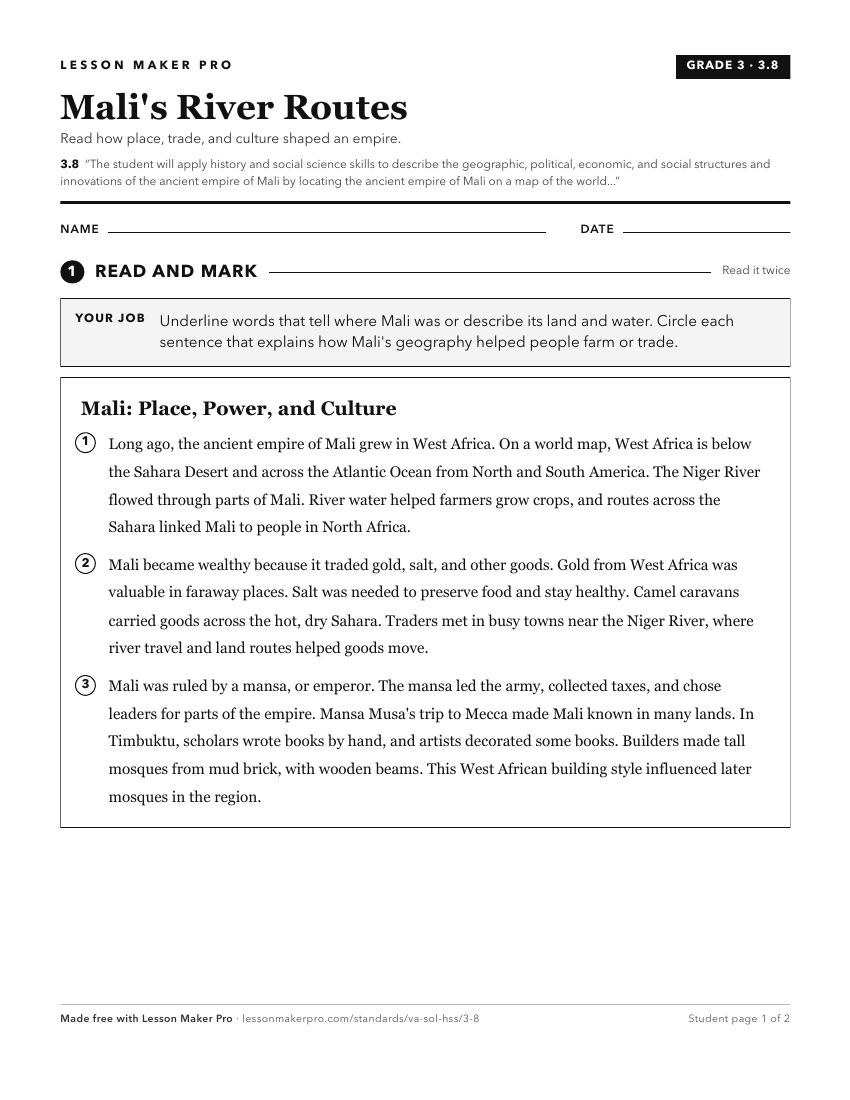
A ready-to-print activity worksheet aligned to 3.8, with an answer key for the teacher on its own page. No account needed.
PDF, US Letter, prints cleanly in black and white.
Download the worksheetKeep exploring
Related Standards
- 3.5
The student will apply history and social science skills to describe the geographic, political, economic, and social structures and innovations of ancient China...
- 3.6
The student will apply history and social science skills to describe the geographic, political, economic, and social structures and innovations of ancient Greec...
- 3.4
The student will apply history and social science skills to describe the geographic, political, economic, and social structures and innovations of ancient Egypt...
- 3.7
The student will apply history and social science skills to describe the geographic, political, economic, and social structures and innovations of ancient Rome ...
Turn this cluster into a lesson
Grade, subject, topic, and the complete cluster are prefilled. Create one free, no account needed.
Also for this cluster:Make a WorksheetMake a QuizMake a Sub Lesson