Virginia SOL 3.7.b
The Standard
- 3.7
- The student will apply history and social science skills to describe the geographic, political, economic, and social structures and innovations of ancient Rome by
connecting the geography of ancient Rome and its economy
Virginia Standards of Learning for History and Social Science
Teacher's field guide
What This Standard Means
What Students Need to Do
- Students use maps to identify the Italian Peninsula, Mediterranean Sea, Tiber River, mountains, and farmland. They explain how water routes supported trade and fertile land supported farming.
What Mastery Looks Like
- Students can point to a geographic feature and name its effect on Roman work or trade. They support each connection with evidence from a map.
Common Misconceptions
- Students may think Romans produced every good locally or that mountains stopped all travel. They may also name landforms without explaining how each affected farming, transportation, or trade.
How to Assess It
- Give students a map of ancient Rome and ask: “Choose two geographic features and explain how each supported farming or trade.”
Lesson moves
Ways to Teach It
Give pairs a map, yarn, and crop cards; they trace sea trade routes and place crops on fertile land.
Write two sentences explaining how the Mediterranean Sea and fertile soil helped Romans earn a living, using one map detail.
Play a matching game pairing geography cards, such as sea and fertile soil, with economy cards, such as trade and farming.
Compare Rome with your community by naming one land or water feature that affects local jobs or trade.
Free download
Printable 3.7.b Worksheet
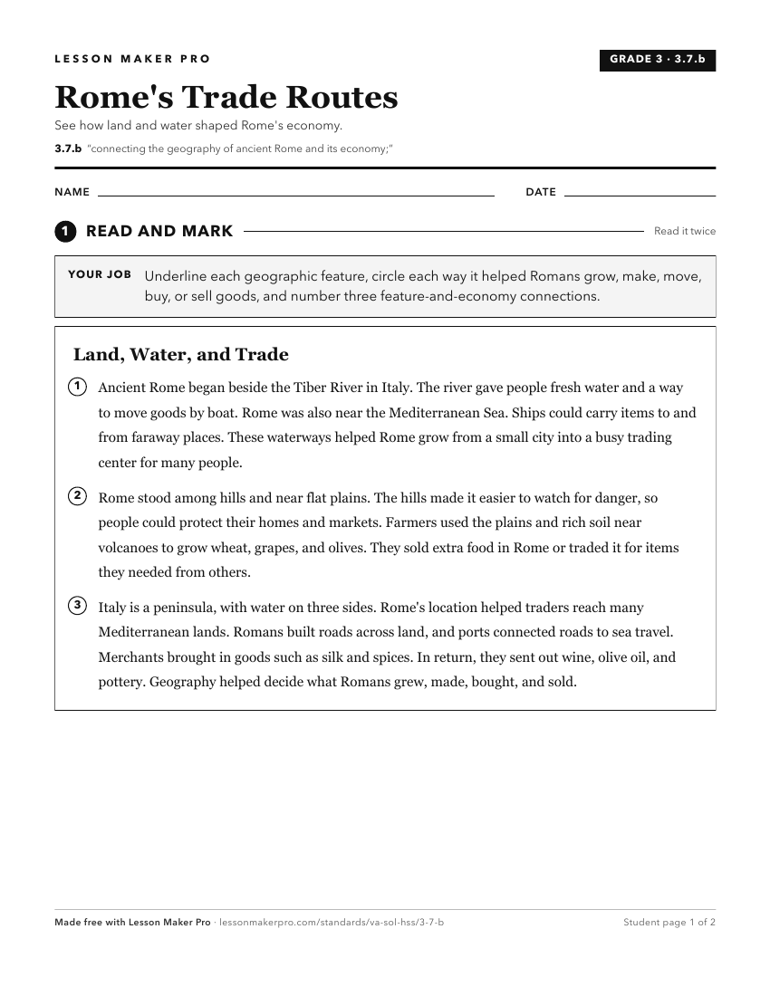
A ready-to-print activity worksheet aligned to 3.7.b, with an answer key for the teacher on its own page. No account needed.
PDF, US Letter, prints cleanly in black and white.
Download the worksheetKeep exploring
Related Standards
Turn this exact standard into a lesson
Grade, subject, topic, and the complete standard are prefilled. Create one free, no account needed.
Also for this standard:Make a WorksheetMake a QuizMake a Sub Lesson