Virginia SOL 3.5.b
The Standard
- 3.5
- The student will apply history and social science skills to describe the geographic, political, economic, and social structures and innovations of ancient China by
connecting the geography of ancient China and its economy
Virginia Standards of Learning for History and Social Science
Teacher's field guide
What This Standard Means
What Students Need to Do
- Students identify major rivers, fertile plains, mountains, and deserts on a map of ancient China. They explain how these features shaped farming, trade, travel, and available goods.
What Mastery Looks Like
- Students use a map to connect fertile river valleys with farming and settlement. They explain how mountains and deserts limited travel while rivers supported crops and trade.
Common Misconceptions
- Students may think all of ancient China had fertile farmland or that rivers only helped people. They may also assume mountains and deserts stopped all trade rather than making it harder.
How to Assess It
- Give students a map showing a river valley, mountains, and desert. Ask them to write two sentences explaining where farming and trade would develop and why.
Lesson moves
Ways to Teach It
Build a salt-dough map of China, then place crop, settlement, and trade symbols beside rivers, mountains, deserts, and plains.
Write a response to this prompt: How could living near a river help a farmer, merchant, and town in ancient China?
Play a matching game that pairs geography cards, such as river or desert, with economy cards, such as farming, trade, or limited travel.
Compare an ancient river trade route with a modern delivery route, then list how landforms affect the movement of goods in both.
Free download
Printable 3.5.b Worksheet
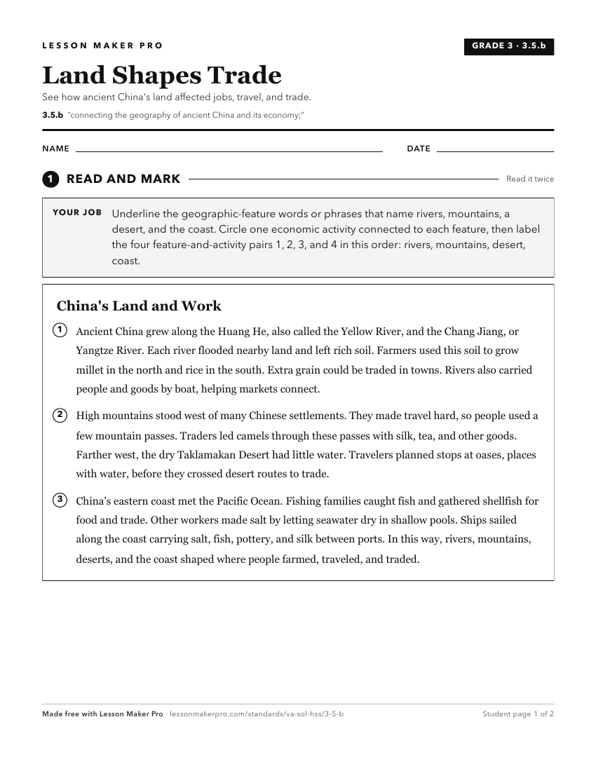
A ready-to-print activity worksheet aligned to 3.5.b, with an answer key for the teacher on its own page. No account needed.
PDF, US Letter, prints cleanly in black and white.
Download the worksheetKeep exploring
Related Standards
Turn this exact standard into a lesson
Grade, subject, topic, and the complete standard are prefilled. Create one free, no account needed.
Also for this standard:Make a WorksheetMake a QuizMake a Sub Lesson