Virginia SOL 3.4.a
The Standard
- 3.4
- The student will apply history and social science skills to describe the geographic, political, economic, and social structures and innovations of ancient Egypt by
locating ancient Egypt on a map of the world
Virginia Standards of Learning for History and Social Science
Teacher's field guide
What This Standard Means
What Students Need to Do
- Students identify Africa on a world map and find ancient Egypt in the continent’s northeastern region. They use the Nile River, Mediterranean Sea, and Red Sea as location clues.
What Mastery Looks Like
- Given an unlabeled world map, a student correctly marks Africa and places ancient Egypt near the Nile River. The student describes its location using nearby land and water features.
Common Misconceptions
- Students may place Egypt in Europe or Asia because it is close to both. They may mark all of northern Africa or confuse ancient Egypt’s core area with modern national borders.
How to Assess It
- Give students a blank world map. Ask them to circle Africa, mark ancient Egypt, and name one nearby river or sea.
Lesson moves
Ways to Teach It
Lay out a floor map, then have students place labeled cards for Africa, the Nile River, and ancient Egypt.
Ask students to write two location clues that would help a traveler find ancient Egypt on a world map.
Play Map Clue Relay, where teams race to place Egypt correctly after hearing clues about Africa, the Nile, and nearby seas.
Compare a modern map of Egypt with an ancient Egypt map, then identify which major land and water features remain in the same locations.
Free download
Printable 3.4.a Worksheet
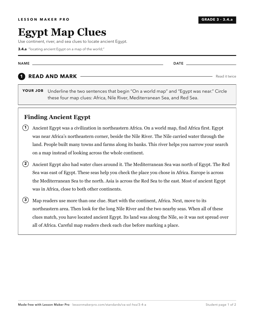
A ready-to-print activity worksheet aligned to 3.4.a, with an answer key for the teacher on its own page. No account needed.
PDF, US Letter, prints cleanly in black and white.
Download the worksheetKeep exploring
Related Standards
Turn this exact standard into a lesson
Grade, subject, topic, and the complete standard are prefilled. Create one free, no account needed.
Also for this standard:Make a WorksheetMake a QuizMake a Sub Lesson