Virginia SOL 3.2.b
The Standard
- 3.2
- The student will apply history and social science skills to locate and describe major geographic features of Africa, Antarctica, Asia, Australia, Europe, North America, and South America by
locating and describing the equator, the Prime Meridian, and the four hemispheres.
Virginia Standards of Learning for History and Social Science
Teacher's field guide
What This Standard Means
What Students Need to Do
- Students find the equator and Prime Meridian on globes and maps. They explain that one line divides north from south and the other divides east from west. They use both lines to identify a location's hemispheres.
What Mastery Looks Like
- A student accurately labels both reference lines on a blank world map. Given a city, the student names the two hemispheres containing it and explains each choice using the lines.
Common Misconceptions
- Students often swap the two lines or draw the Prime Meridian from east to west. Some think Earth has four separate quarters, rather than recognizing that most places belong to two hemispheres. They may assume every country sits entirely within one hemisphere.
How to Assess It
- Give students a blank world map with labeled dots for Richmond, Cairo, Brasília, and Sydney. Ask them to label both reference lines and list the two hemispheres for each city.
Lesson moves
Ways to Teach It
Place removable tape along the equator and Prime Meridian on a globe, then attach Northern, Southern, Eastern, and Western Hemisphere labels.
Have students answer: Why can Richmond be in two hemispheres at the same time?
Post Northern and Eastern, Northern and Western, Southern and Eastern, and Southern and Western signs in corners; students move for each city card.
Use a flight map from Virginia to Australia, and have students name the hemispheres at departure and arrival.
Free download
Printable 3.2.b Worksheet
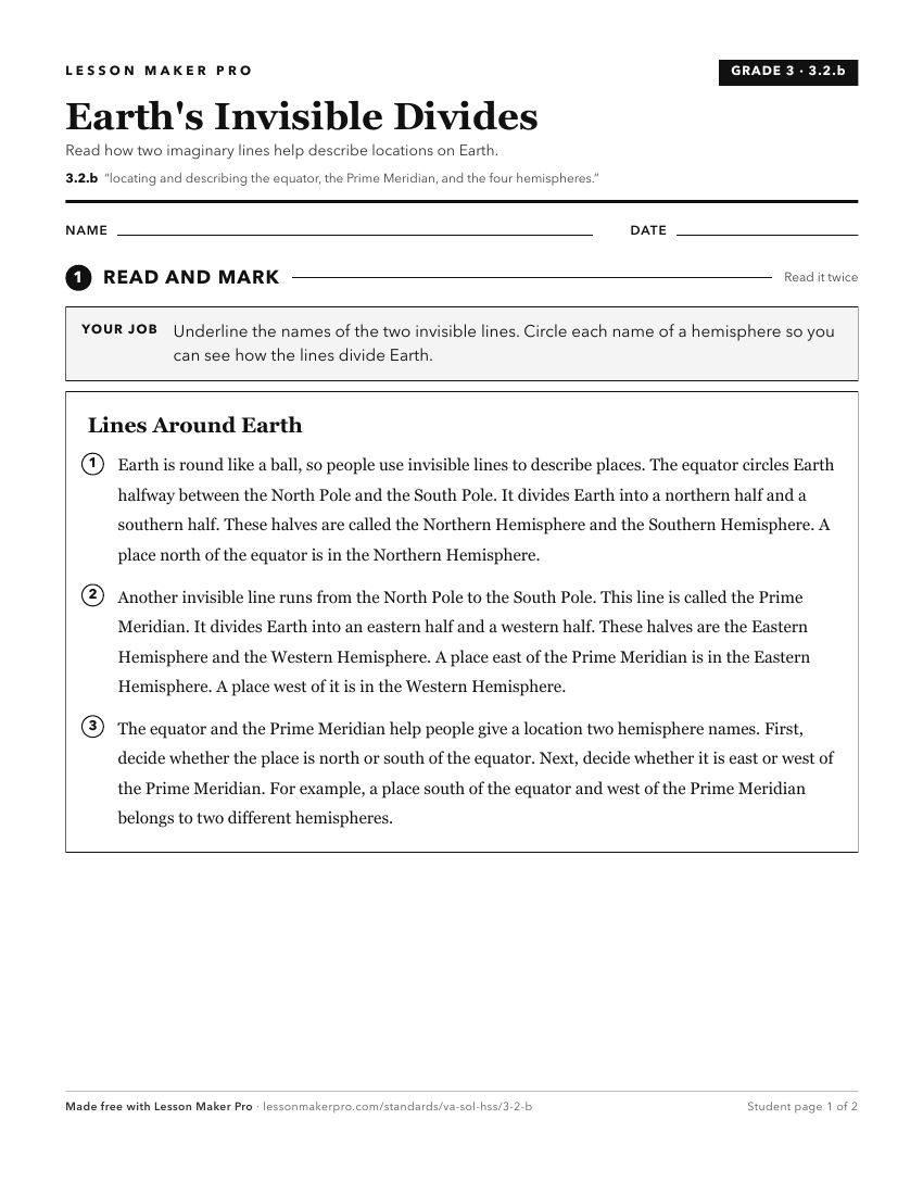
A ready-to-print activity worksheet aligned to 3.2.b, with an answer key for the teacher on its own page. No account needed.
PDF, US Letter, prints cleanly in black and white.
Download the worksheetKeep exploring
Related Standards
- 3.2.a
locating and describing the seven continents and the five oceans
- USI.1.a
locating North America in relation to the other continents and the oceans
- WG.6.a
identifying and analyzing the location of major geographic regions and major cities on maps and globes
- 2.11.a
locating the countries of North America and the bordering oceans
Turn this exact standard into a lesson
Grade, subject, topic, and the complete standard are prefilled. Create one free, no account needed.
Also for this standard:Make a WorksheetMake a QuizMake a Sub Lesson