Virginia SOL 1.6.b
The Standard
- 1.6
- The student will apply history and social science skills to develop geographic skills by
using cardinal directions on maps
Virginia Standards of Learning for History and Social Science
Teacher's field guide
What This Standard Means
What Students Need to Do
- Students identify north, south, east, and west on a simple map. They use a compass rose to describe where one place is compared with another.
What Mastery Looks Like
- Given a classroom or neighborhood map, a student correctly locates places in each direction. The student follows and gives a short route with two directional steps.
Common Misconceptions
- Students may assume the top of every map is north without checking the compass rose. They often reverse east and west or confuse directions with left and right.
How to Assess It
- Give students a map with a school in the center and four labeled places. Ask them to circle the place east of the school and mark the place south of the school.
Lesson moves
Ways to Teach It
Post direction labels on classroom walls, then have students draw a direction card and walk toward the matching wall.
Show a simple park map and ask, "What is north of the pond, and how do you know?"
Partners take turns giving two-step directions to move a counter across a grid map toward hidden treasure.
Use a school map to describe where the cafeteria, office, and playground are compared with the classroom.
Free download
Printable 1.6.b Worksheet
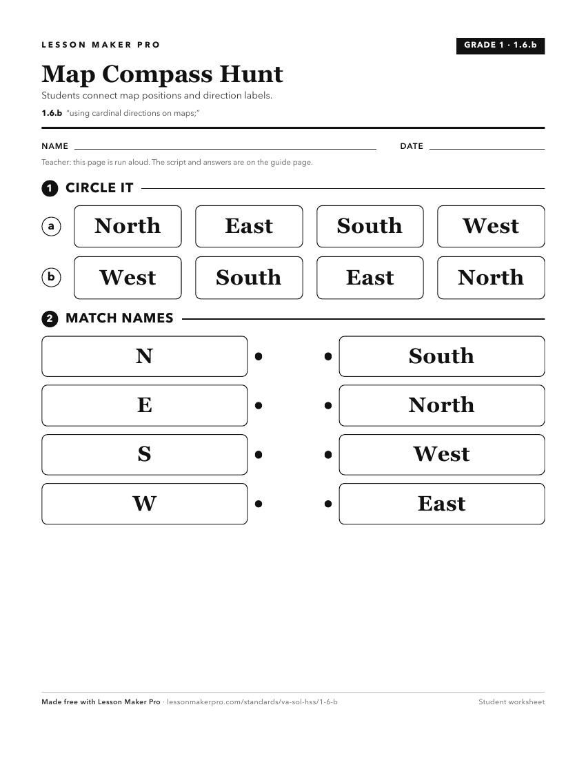
A ready-to-print activity worksheet aligned to 1.6.b, with an answer key for the teacher on its own page. No account needed.
PDF, US Letter, prints cleanly in black and white.
Download the worksheetKeep exploring
Related Standards
Turn this exact standard into a lesson
Grade, subject, topic, and the complete standard are prefilled. Create one free, no account needed.
Also for this standard:Make a WorksheetMake a QuizMake a Sub Lesson