Virginia SOL 1.6.a
The Standard
- 1.6
- The student will apply history and social science skills to develop geographic skills by
using basic map symbols, including references to land, water, cities, and roads
Virginia Standards of Learning for History and Social Science
Teacher's field guide
What This Standard Means
What Students Need to Do
- Students read a simple map key and match symbols to land, water, cities, and roads. They use those symbols to find places and trace routes.
What Mastery Looks Like
- Given a new map, a student can point out each feature and explain which symbol shows it. The student can also draw a simple map with a matching key.
Common Misconceptions
- Students may think a symbol must look exactly like the real feature. They may also assume every map uses the same colors and symbols, instead of checking the key.
How to Assess It
- Give students a simple map with a four-symbol key. Ask them to circle a city, color water blue, and trace one road.
Lesson moves
Ways to Teach It
Give pairs blue paper, green paper, yarn, and dot stickers to build a map, then make a matching key.
Show a simple map and ask, How could you travel from the city to the water, and which symbols helped you?
Play Symbol Relay: call out land, water, city, or road, and students place a matching card on a floor map.
Use a local park map to find water and roads, then trace a route from the entrance to a chosen place.
Free download
Printable 1.6.a Worksheet
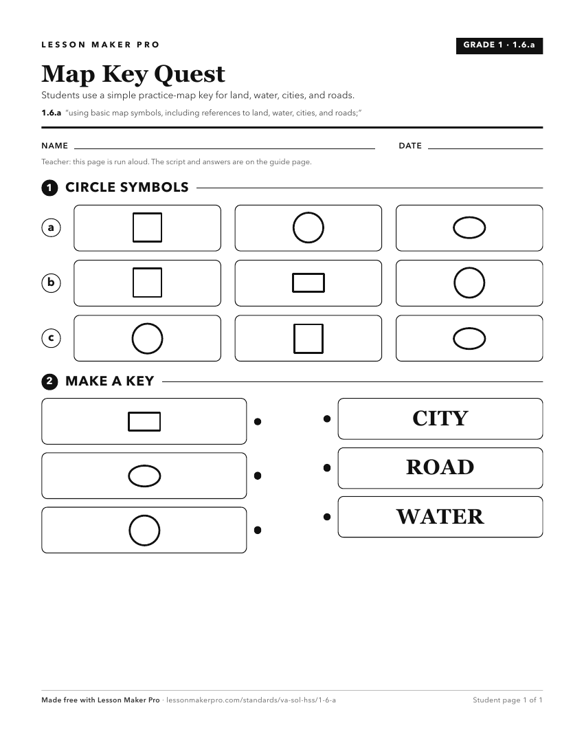
A ready-to-print activity worksheet aligned to 1.6.a, with an answer key for the teacher on its own page. No account needed.
PDF, US Letter, prints cleanly in black and white.
Download the worksheetKeep exploring
Related Standards
Turn this exact standard into a lesson
Grade, subject, topic, and the complete standard are prefilled. Create one free, no account needed.
Also for this standard:Make a WorksheetMake a QuizMake a Sub Lesson