Oklahoma Social Studies 4.P.3.1
Standard Cluster
- 4.P.3
- Engage in critical, active reading of primary and secondary sources related to social studies concepts.
Comprehend, evaluate, and synthesize textual sources to acquire and refine knowledge in the social studies. Use information accurately from a text when explaining the text explicitly and when drawing inferences from the text. Use information from multiple print or digital sources (e.g., timelines, maps, graphs, political cartoons, images, artwork) to answer a question.
Oklahoma Academic Standards for Social Studies (2026) · 4.P.3
Cluster contents
Standards in This Cluster
4.P.3.1 is a cluster heading. These are the individual standards under it.
Teacher's field guide
What This Cluster Means
What Students Need to Do
- Students read a short history passage and find facts it states directly. They use a map and timeline with the passage to answer a question. They separate what the sources say from what they infer.
What Mastery Looks Like
- A student points to a line in the passage, a map label, and a timeline date. They use those details to explain what changed and leave out claims the sources do not support.
Common Misconceptions
- Students may mistake a map of Oklahoma Territory for a map of the later state. They may think a date on a timeline explains why statehood happened, when it only tells when.
How to Assess It
- Give students a 1906 map showing both territories, a 1907 statehood timeline, and a short passage. Ask: “What changed in 1907? Use one fact from each of two sources, then state one conclusion you drew.”
Lesson moves
Ways to Teach It
Give pairs printed 1906 and 1907 maps to label, then have them place a statehood date card between the maps.
Ask students: “What do the maps show about Oklahoma in 1907, and what question do they leave unanswered?”
Hand out four claim cards and a map, timeline, and passage; have pairs match each supported claim to its evidence.
Compare a 1906 territory map with a current Oklahoma road map, and mark where the old territory boundary ran.
Free download
Printable 4.P.3.1 Worksheet
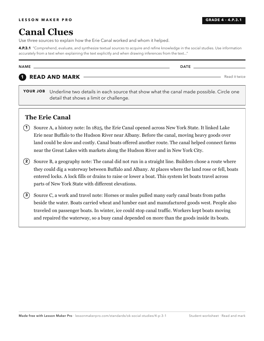
A ready-to-print activity worksheet aligned to 4.P.3.1, with an answer key for the teacher on its own page. No account needed.
PDF, US Letter, prints cleanly in black and white.
Download the worksheetKeep exploring
Related Standards
Turn this cluster into a lesson
Grade, subject, topic, and the complete cluster are prefilled. Create one free, no account needed.
Also for this cluster:Make a WorksheetMake a QuizMake a Sub Lesson