Maryland Math G.GPE.C.10
The Standard
Plot points on a polar coordinate grid.
Maryland College and Career Ready Standards for Mathematics (2025) · Polar Coordinates.
Teacher's field guide
What This Standard Means
What Students Need to Do
- Students use an angle and a distance to locate a point on a polar grid. They turn from the 0° ray, then move out the given number of rings.
What Mastery Looks Like
- Given (4, 120°), a student finds the 120° ray and marks the fourth ring. They can explain why (4, 300°) lands somewhere else.
Common Misconceptions
- Some students read (3, 60°) as three units right and 60 units up. Others measure positive angles clockwise or mistake a radial line for a distance ring.
How to Assess It
- On a polar grid with 30° rays and unit rings, have students plot (3, 60°) and (2, 150°). Ask them to write how they found the first point.
Lesson moves
Ways to Teach It
Give pairs a printed polar grid and string; one holds the string along the 60° ray while the other marks the third ring.
Have partners plot (3, 60°) and (3, 240°), then explain why the points are in different places.
Call out coordinates while students mark points on reusable polar grids, then hold up their grids for a quick check.
On a radar grid with one-mile rings and east as 0°, have students plot a storm four miles away at 90°.
Free download
Printable G.GPE.C.10 Worksheet
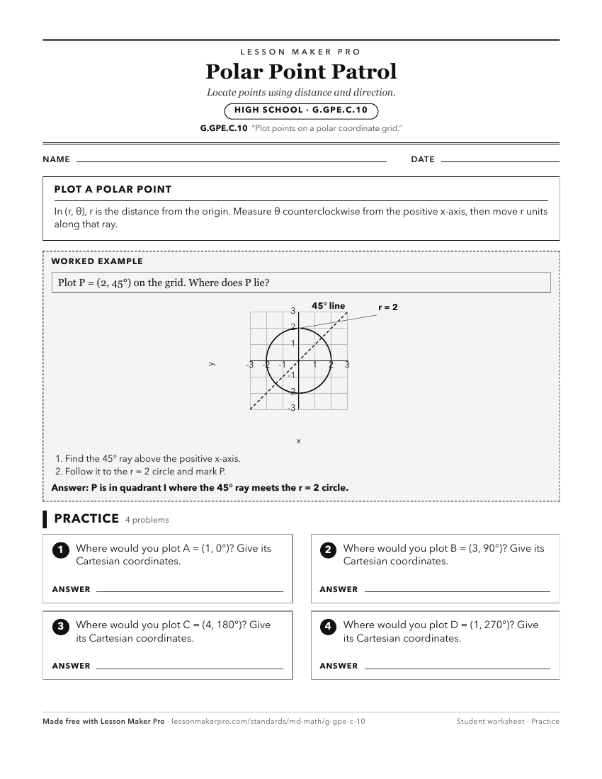
A ready-to-print activity worksheet aligned to G.GPE.C.10, with an answer key for the teacher on its own page. No account needed.
PDF, US Letter, prints cleanly in black and white.
Download the worksheetKeep exploring
Related Standards
Turn this exact standard into a lesson
Grade, subject, topic, and the complete standard are prefilled. Create one free, no account needed.
Also for this standard:Make a WorksheetMake a QuizMake a Sub Lesson