Indiana Social Studies 6.G.1
The Standard
Demonstrate a broad understanding of the major countries, capitals, and/or regions of Europe and the Americas.
2026 Indiana Academic Standards: K-12 Social Studies
Teacher's field guide
What This Standard Means
What Students Need to Do
- Students locate major countries in Europe and the Americas on a map. They match countries with their capitals and identify regions such as North America and South America.
What Mastery Looks Like
- Given an unlabeled map, a student can find countries such as France, Germany, Canada, and Brazil. They can name each capital and tell which region each country belongs to.
Common Misconceptions
- Students may place Mexico in South America or mistake Central America for a continent. They may name New York as the U.S. capital or confuse a country with its capital, such as France and Paris.
How to Assess It
- Give students a blank map. Ask them to label France, Germany, Canada, and Brazil, write each capital, and label Europe, North America, and South America.
Lesson moves
Ways to Teach It
Give pairs a blank map and sticky notes labeled France, Paris, Brazil, and Brasília; have them place each note, then check an atlas.
Ask students to write two sentences explaining how they know whether Mexico belongs in North America or South America.
Play map bingo: call out France, Germany, Canada, and Brazil; students mark each country and write its capital beside it.
Have students plan a trip from Paris to Brasília, marking both countries and their regions on a map.
Free download
Printable 6.G.1 Worksheet
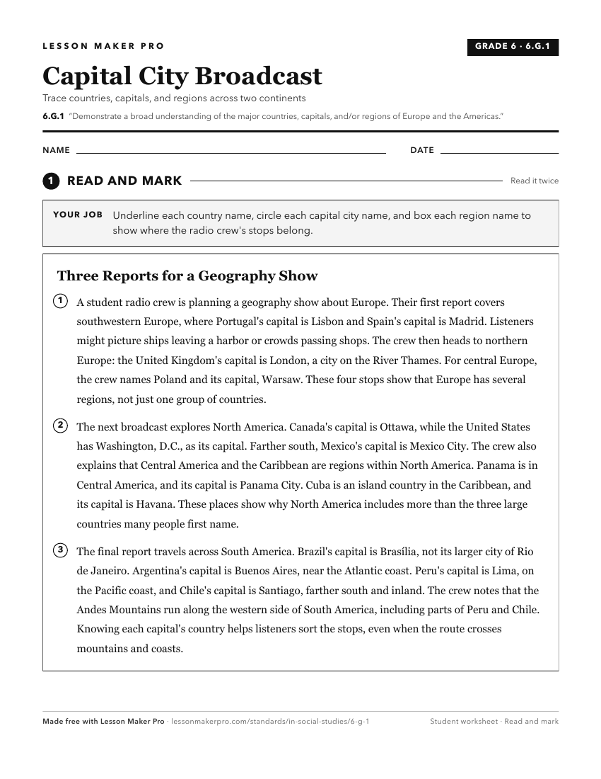
A ready-to-print activity worksheet aligned to 6.G.1, with an answer key for the teacher on its own page. No account needed.
PDF, US Letter, prints cleanly in black and white.
Download the worksheetKeep exploring
Related Standards
- 6.H.3
Identify and explain the development and organization of political, cultural, social, and economic systems in Europe and the Americas.
- 6.G.2
Describe and compare major cultural characteristics of regions in Europe and the Western Hemisphere.
- 6.G.3
Locate, describe, and compare major physical characteristics of regions (e.g., climate, plains) of Europe and the Americas.
- 1.G.2
Identify and describe continents, hemispheres, oceans, cities, and roads on maps and globes.
Turn this exact standard into a lesson
Grade, subject, topic, and the complete standard are prefilled. Create one free, no account needed.
Also for this standard:Make a WorksheetMake a QuizMake a Sub Lesson