Indiana Social Studies 3.G.3
The Standard
Identify the local and regional communities, including Indiana and other Midwestern states, on maps using simple grid systems.
2026 Indiana Academic Standards: K-12 Social Studies
Teacher's field guide
What This Standard Means
What Students Need to Do
- Students find their town, Indiana, and other Midwestern states on a map. They use the map grid to tell someone where each place is.
What Mastery Looks Like
- A student can point to their town, Indiana, Illinois, and Michigan on a regional map. They can give a grid square for each place and show that their town is inside Indiana.
Common Misconceptions
- Students may mix up grid rows and columns. They may think a state must fit in one square or mistake Kentucky for a Midwestern state.
How to Assess It
- Hand out a gridded Midwest map with state borders and our town marked. Ask students to label Indiana, Illinois, and Michigan, then write the grid square for our town.
Lesson moves
Ways to Teach It
Tape a letter-number grid over a Midwest map marked with our town; students circle the town, trace Indiana, and label Illinois and Michigan.
Ask, 'How can you show that our town is in Indiana using this map?' Have students write two sentences.
Play grid detective: one partner names a grid square on a Midwest map, and the other names a state it touches.
Use a gridded road map to plan a drive from our town to Chicago; students name each stop's state and grid square.
Free download
Printable 3.G.3 Worksheet
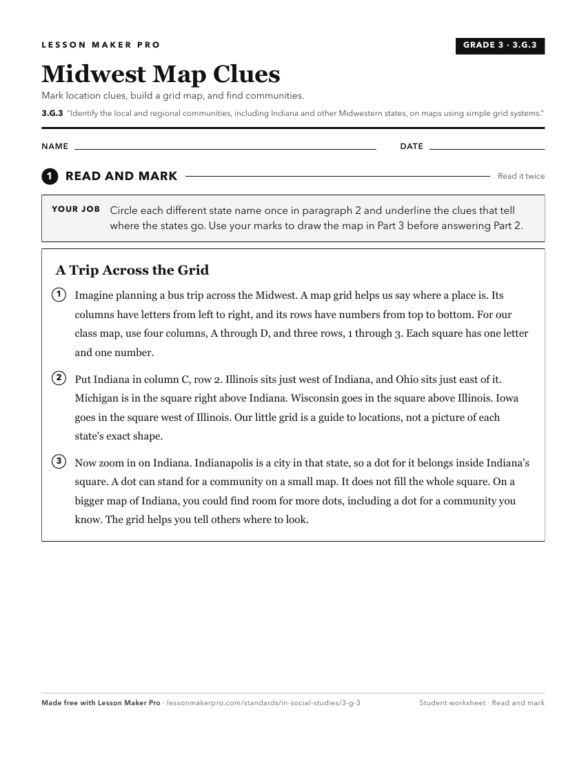
A ready-to-print activity worksheet aligned to 3.G.3, with an answer key for the teacher on its own page. No account needed.
PDF, US Letter, prints cleanly in black and white.
Download the worksheetKeep exploring
Related Standards
- IS.3.2
Map and describe the physical regions of Indiana and identify major natural resources and land use regions.
- 4.G.3
Map and describe the physical regions of Indiana and identify major natural resources and agricultural/crop regions.
- 2.G.2
Locate the equator, the poles, continents, and hemispheres on a world map and on a globe; identify the local community, city, Indiana, the United States, and No...
- 3.G.5
Explain that regions are areas that have similar physical and cultural characteristics. Identify Indiana and the local community as part of a specific region.
Turn this exact standard into a lesson
Grade, subject, topic, and the complete standard are prefilled. Create one free, no account needed.
Also for this standard:Make a WorksheetMake a QuizMake a Sub Lesson