Alabama Social Studies SS24.7.4b
The Standard
- SS24.7.4
- Explain how artifacts and other archaeological findings provide evidence of the nature and movement of prehistoric groups of people.
Use maps to identify how climate and weather patterns, including the Ice Ages, affect the ways humans adapt within different geographic locations.
2024 Alabama Course of Study: Social Studies
Teacher's field guide
What This Standard Means
What Students Need to Do
- Students read maps showing ice sheets, water, landforms, and climate zones. They explain how these conditions shaped where early people traveled, found food, and built shelter.
What Mastery Looks Like
- A student can trace a possible route around an ice sheet and point to water or food sources on the map. They can explain why a tundra camp needs different shelter than a camp in a warmer river valley.
Common Misconceptions
- Students may think the entire Earth was covered in ice during an Ice Age. They may treat one snowy day as a climate change or assume every group used the same shelter and food sources.
How to Assess It
- Give students a map labeled ice sheet, tundra, and warmer river valley. Ask them to mark a camp in each habitable area and explain one shelter or food choice for each using map clues.
Lesson moves
Ways to Teach It
Have pairs lay a clear sheet marked with Ice Age ice over a land map, then trace a possible migration route with string.
Show maps of a cold tundra and a warmer river valley; ask, 'How would your food and shelter change between these places?'
Give teams map cards showing tundra, dry plains, and a river valley; have them match each to food and shelter cards.
Compare tomorrow's local forecast with a regional climate map; students name a clothing choice for tomorrow and a long-term home feature.
Free download
Printable SS24.7.4b Worksheet
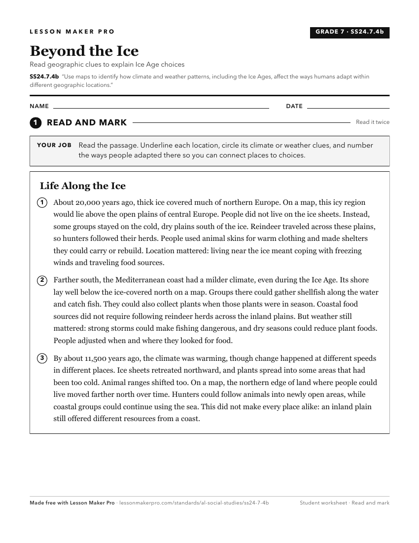
A ready-to-print activity worksheet aligned to SS24.7.4b, with an answer key for the teacher on its own page. No account needed.
PDF, US Letter, prints cleanly in black and white.
Download the worksheetKeep exploring
Related Standards
- SS24.HG.10a
Evaluate the impact of long-term climate shifts and resource usage on human migration and settlement patterns.
- SS24.7.2
Analyze how human interaction with the environment, location, movement, place, and region affect cultural, economic, and social conditions for those living in a...
- SS24.7.1c
Utilize maps to explain relationships among people and places, including governmental alliances, immigration patterns, and trade patterns.
- SS24.HG.10
Describe patterns of settlement in different regions of the world.
Turn this exact standard into a lesson
Grade, subject, topic, and the complete standard are prefilled. Create one free, no account needed.
Also for this standard:Make a WorksheetMake a QuizMake a Sub Lesson