Alabama Social Studies SS24.7.10
Standard Cluster
Describe cultural and economic characteristics of early Indigenous peoples in North and South America, including civilizations in Mesoamerica, the Andes, and the Mississippi River Valley. 10a Identify locations and migration patterns of early Indigenous peoples on a map, including the Olmec and Woodland Period civilizations. 10b Compare and contrast the development of agriculture in the Americas with agricultural practices in other early civilizations. 10c Describe how religion, architecture, and politics intersected in early Indigenous civilizations, including the Maya civilization.
2024 Alabama Course of Study: Social Studies
Cluster contents
Standards in This Cluster
SS24.7.10 is a cluster heading. These are the individual standards under it.
- SS24.7.10a
Identify locations and migration patterns of early Indigenous peoples on a map, including the Olmec and Woodland Period civilizations.
- SS24.7.10b
Compare and contrast the development of agriculture in the Americas with agricultural practices in other early civilizations.
- SS24.7.10c
Describe how religion, architecture, and politics intersected in early Indigenous civilizations, including the Maya civilization.
Teacher's field guide
What This Cluster Means
What Students Need to Do
- Students map likely early migration routes and locate the Olmec, Woodland, Maya, Andean, and Mississippian regions. They describe crops, trade, beliefs, and buildings, then compare farming in the Americas with farming in ancient Egypt. They explain how Maya temples and ceremonies supported rulers' power.
What Mastery Looks Like
- A student places the Olmec on the Gulf Coast and Woodland peoples in eastern North America, then traces a possible early migration route. They compare American maize farming with Egyptian wheat farming using specific methods. They explain how a Maya ruler could use a temple ceremony to show authority.
Common Misconceptions
- Students may place the Olmec in the Andes or treat Woodland peoples as one empire. They may assume all American societies grew the same crops or farmed like ancient Egyptians. They may see Maya temples as only religious sites and miss their political role.
How to Assess It
- On a blank Americas map, have students mark a likely migration route, the Olmec Gulf Coast, and the Woodland region. Below the map, ask them to compare maize farming with Egyptian wheat farming and explain why a Maya ruler might hold a temple ceremony.
Lesson moves
Ways to Teach It
On a blank map, pairs trace a possible early migration route and place labeled cards for Olmec, Woodland, Maya, Andes, and Mississippi Valley.
Show a Maya temple drawing and ask students to write how a ruler could use a public ceremony there to show power.
Play a card match with region maps and crop or farming cards, including Andean terraces, Mesoamerican maize, and Egyptian wheat.
Read a corn tortilla label, mark maize's Mesoamerican origins on a map, and discuss how Indigenous farming still shapes meals today.
Free download
Printable SS24.7.10 Worksheet
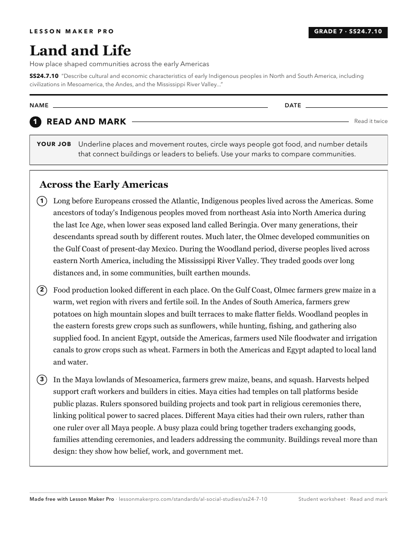
A ready-to-print activity worksheet aligned to SS24.7.10, with an answer key for the teacher on its own page. No account needed.
PDF, US Letter, prints cleanly in black and white.
Download the worksheetKeep exploring
Related Standards
- SS24.3.8
Describe Indigenous cultures, governments, and economies in the Southeast prior to European colonization.
- SS24.8.6
Describe key aspects and figures of Indigenous societies during the Postclassic Period in Mesoamerica and the Andean region and the Mississippian Period in Nort...
- SS24.6.1
Describe major Indigenous societies in North America prior to European contact.
Turn this cluster into a lesson
Grade, subject, topic, and the complete cluster are prefilled. Create one free, no account needed.
Also for this cluster:Make a WorksheetMake a QuizMake a Sub Lesson