Alabama Social Studies SS24.3.11
Standard Cluster
Describe French expeditions and colonization of Alabama, including the efforts of the LeMoyne brothers (Iberville and Bienville), establishment of forts, relationships with Indigenous peoples, and fur trade. 11a Locate on maps the French settlements in early Alabama, including Mobile (1702), Fort Toulouse (1717), and Fort Condé (1723), and describe their significance.
2024 Alabama Course of Study: Social Studies
Cluster contents
Standards in This Cluster
SS24.3.11 is a cluster heading. These are the individual standards under it.
Teacher's field guide
What This Cluster Means
What Students Need to Do
- Students learn how Iberville explored the Gulf Coast and Bienville helped found Mobile. They locate early Mobile, Fort Toulouse, and Fort Condé on a map. They explain how forts and fur trade connected French settlers with Indigenous peoples.
What Mastery Looks Like
- Students place early Mobile upriver, Fort Toulouse where the Coosa and Tallapoosa Rivers meet, and Fort Condé near present-day Mobile. They explain why the French built forts and name goods that French traders and Indigenous peoples exchanged.
Common Misconceptions
- Students may put the 1702 Mobile settlement at Fort Condé, though it was farther upriver. They may confuse Iberville's exploration with Bienville's work at Mobile or overlook Indigenous peoples' role as trading partners.
How to Assess It
- Give students a blank Alabama river map. Ask them to label the three sites, then write one sentence about why Fort Toulouse was built near the rivers.
Lesson moves
Ways to Teach It
On a printed river map, mark early Mobile upriver, Fort Toulouse at the river junction, and Fort Condé near present-day Mobile.
Ask, "Why might a Muscogee trader and a French trader both want to meet at Fort Toulouse? What could each trade?"
Play map match: Partners place Mobile, Fort Toulouse, and Fort Condé cards on a blank map, then check against a labeled map.
Compare a current Alabama road map with an early settlement map; circle Mobile and Wetumpka, then trace nearby rivers.
Free download
Printable SS24.3.11 Worksheet
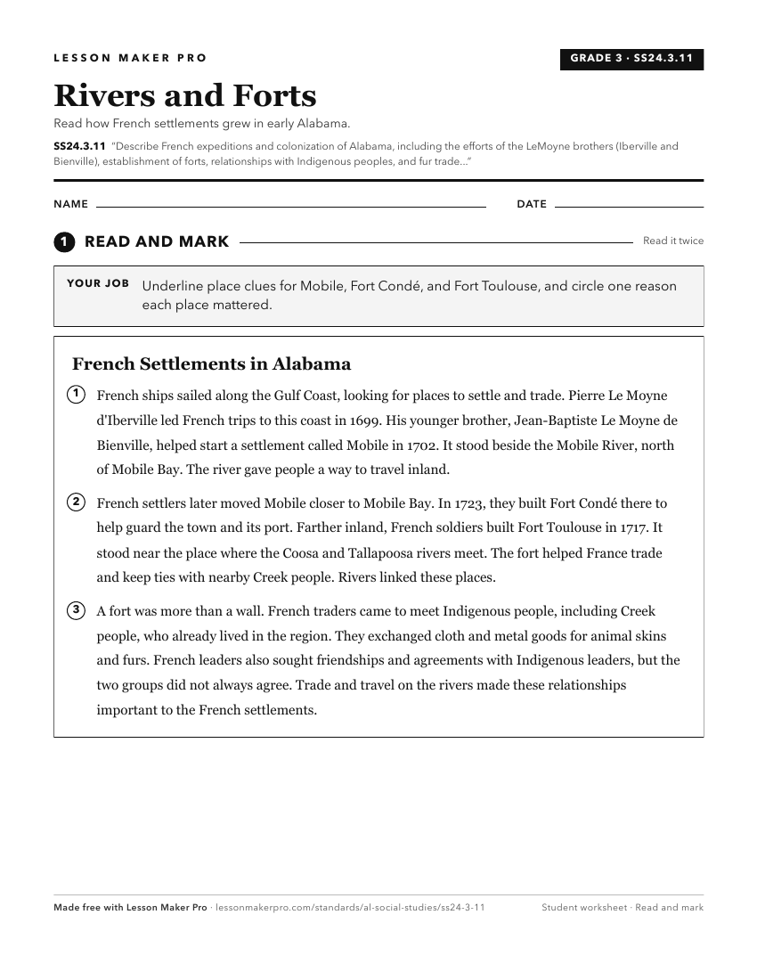
A ready-to-print activity worksheet aligned to SS24.3.11, with an answer key for the teacher on its own page. No account needed.
PDF, US Letter, prints cleanly in black and white.
Download the worksheetKeep exploring
Related Standards
- SS24.3.9b
Describe key parts of Hernando de Soto’s expedition through Alabama and explain its effects on Alabama’s Indigenous peoples.
- SS24.4.5a
Explain how the French and Indian War affected power, trade, and claims to lands in Alabama for both Native Americans and European nations.
- SS24.4.6b
Describe events that took place in Alabama during the Revolution, including the Spanish seizure of Mobile and the Battle of Fort Charlotte, and explain the invo...
Turn this cluster into a lesson
Grade, subject, topic, and the complete cluster are prefilled. Create one free, no account needed.
Also for this cluster:Make a WorksheetMake a QuizMake a Sub Lesson