NY Social Studies K.6a
The Standard
A globe represents Earth, and maps can be used to represent the world as well as local places or specific regions.
New York State K–12 Social Studies Framework
Key Idea K.6
Maps and globes are representations of Earth’s surface that are used to locate and better understand places and regions.
Teacher's field guide
What This Standard Means
What Students Need to Do
- Students tell how a globe and a map are alike and different. They recognize that both show places, while a globe is round and maps can show large or small areas.
What Mastery Looks Like
- Given a globe, a world map, and a neighborhood map, students can name each one and describe what it shows. They can give one similarity and one difference.
Common Misconceptions
- Students may think a map or globe is the actual place rather than a model. They may also think every map shows the whole world or that a globe can show only land.
How to Assess It
- Show students a globe and a local map. Ask, “How are these alike, how are they different, and which would help us find our school?”
Lesson moves
Ways to Teach It
Let pairs handle a globe, world map, and neighborhood map, then place sticky notes on features shared by two or all three.
Ask, “How are a globe and a map alike and different?” Students draw one similarity and dictate one difference.
Play “Globe or Map?” Show place cards, such as Earth, New York, or the classroom, and have students choose a useful tool.
Visit the school evacuation map, identify the area it shows, then compare it with a classroom globe.
Free download
Printable K.6a Worksheet
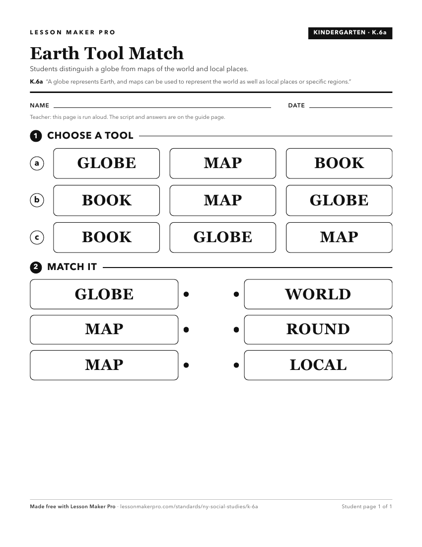
A ready-to-print activity worksheet aligned to K.6a, with an answer key for the teacher on its own page. No account needed.
PDF, US Letter, prints cleanly in black and white.
Download the worksheetTurn this exact standard into a lesson
Grade, subject, topic, and the complete standard are prefilled. Create one free, no account needed.
Also for this standard:Make a WorksheetMake a QuizMake a Sub Lesson