NY Social Studies 8.2a
The Standard
Technological developments changed the modes of production, and access to natural resources facilitated increased industrialization. The demand for labor in urban industrial areas resulted in increased migration from rural areas and a rapid increase in immigration to the United States. New York City became the nation’s largest city, and other cities in New York State also experienced growth at this time.
New York State K–12 Social Studies Framework
Key Idea 8.2
A CHANGING SOCIETY: Industrialization and immigration contributed to the urbanization of America. Problems resulting from these changes sparked the Progressive movement and increased calls for reform.
Teacher's field guide
What This Standard Means
What Students Need to Do
- Students explain how new machines, factories, natural resources, and industrial jobs drove city growth. They identify migrant and immigrant groups, trace where they came from, and compare their experiences in different regions.
What Mastery Looks Like
- Students can build a clear cause and effect chain linking industrial growth, jobs, migration, immigration, and urbanization. They support comparisons with details about Ellis Island, ethnic neighborhoods, and settlements in other regions.
Common Misconceptions
- Students may treat migration and immigration as the same process or assume all newcomers entered through Ellis Island. They may also assume every group settled in northeastern cities and had the same experience.
How to Assess It
- Exit ticket: Explain why one group moved, where it settled, and how its experience differed from that of a group in another region.
Lesson moves
Ways to Teach It
Give pairs a map, migration cards, and string to trace routes to New York City, the Midwest, Far West, and Southwest.
Ask students to write: Which mattered more in city growth, factory jobs or immigration, and what evidence supports your claim?
Play a sorting game matching migrant groups with origins, destinations, jobs, and settlement types, then require students to explain each match.
Compare an 1890 map of New York City or Buffalo with a current map, noting lasting transportation routes and neighborhood patterns.
Free download
Printable 8.2a Worksheet
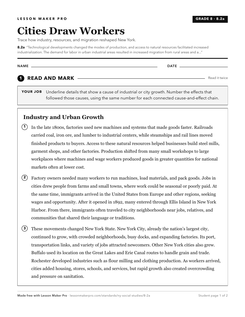
A ready-to-print activity worksheet aligned to 8.2a, with an answer key for the teacher on its own page. No account needed.
PDF, US Letter, prints cleanly in black and white.
Download the worksheetTurn this exact standard into a lesson
Grade, subject, topic, and the complete standard are prefilled. Create one free, no account needed.
Also for this standard:Make a WorksheetMake a QuizMake a Sub Lesson