NY Social Studies 5.3a
The Standard
Europeans traveled to the Americas in search of new trade routes, including a northwest passage, and resources. They hoped to gain wealth, power, and glory.
New York State K–12 Social Studies Framework
Key Idea 5.3
EUROPEAN EXPLORATION AND ITS EFFECTS: Various European powers explored and eventually colonized the Western Hemisphere. This had a profound effect on Native Americans and led to the transatlantic slave trade.
Teacher's field guide
What This Standard Means
What Students Need to Do
- Students trace the routes of Columbus, Cabot, Cartier, Cabral, and Balboa and identify the country that sponsored each voyage. They explain the motives behind exploration. They compare English, Dutch, French, Portuguese, and Spanish colonial regions by location, relative size, and resources.
What Mastery Looks Like
- Given a blank map, students can plot major voyage routes and shade broad colonial regions with a clear key. They can use map evidence to explain how geography, resources, and national goals influenced exploration and colonization.
Common Misconceptions
- Students may confuse an explorer’s birthplace with the country that sponsored the voyage. They may think the Northwest Passage was a known route or assume European claims meant land was empty and fully controlled.
How to Assess It
- Give students an Atlantic map and ask them to draw one explorer’s route, name its sponsor, shade one colonial region, and explain one motive.
Lesson moves
Ways to Teach It
Lay yarn across a large Atlantic map to trace five voyages, then attach country and motive cards to each route.
Write a claim about whether trade, resources, or status mattered most to European rulers, using two map or source details.
Play a card sort matching each explorer to a sponsoring country, route, destination, and likely goal, then correct mismatches with a partner.
Compare a modern shipping map with voyage routes and mark places where geography still directs trade around coasts, rivers, and narrow passages.
Free download
Printable 5.3a Worksheet
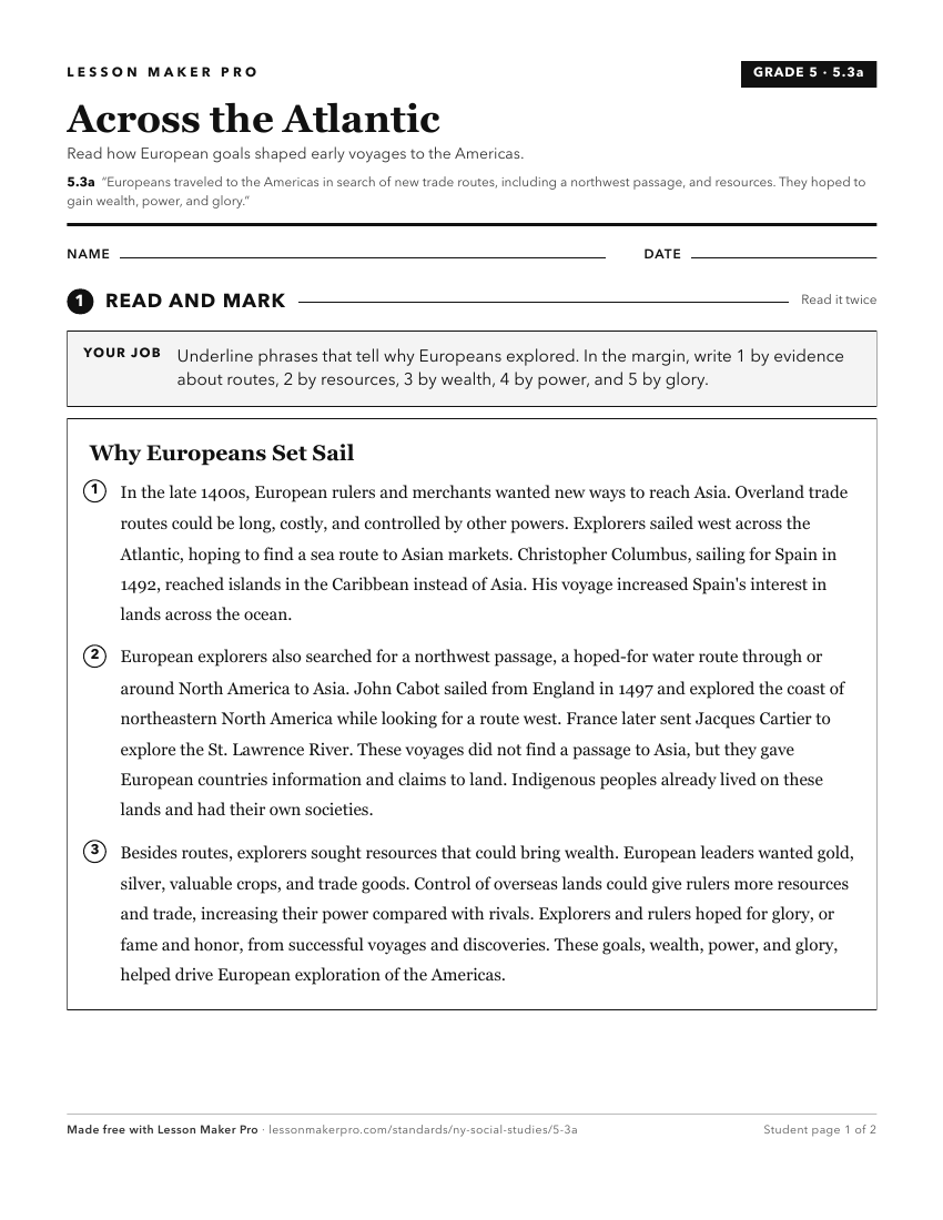
A ready-to-print activity worksheet aligned to 5.3a, with an answer key for the teacher on its own page. No account needed.
PDF, US Letter, prints cleanly in black and white.
Download the worksheetTurn this exact standard into a lesson
Grade, subject, topic, and the complete standard are prefilled. Create one free, no account needed.
Also for this standard:Make a WorksheetMake a QuizMake a Sub Lesson