NY Social Studies 3.2a
The Standard
World communities can be located on globes and maps.
New York State K–12 Social Studies Framework
Key Idea 3.2
The location of world communities can be described using geographic tools and vocabulary.
Teacher's field guide
What This Standard Means
What Students Need to Do
- Students find selected communities on a globe and different maps. They identify the continent and country, then describe the location using direction words and nearby features.
What Mastery Looks Like
- A student can independently locate a named community on both a globe and a map. The student can describe where it is using continent, country, compass directions, and nearby oceans or landforms.
Common Misconceptions
- Students may confuse a city, country, and continent. They may expect every map to face the same way or assume a community appears in the same place on every map.
How to Assess It
- Give students a labeled world map and ask them to mark one studied community. Have them write its country, continent, and one accurate location sentence.
Lesson moves
Ways to Teach It
Give pairs a globe, map, and sticky dots, then have them mark three studied communities and record each country and continent.
Ask students to write: How would you help someone find this community on a world map without pointing to it?
Play Location Clue Cards, where students match community names with country, continent, compass direction, and nearby ocean clues.
Show a news or weather report mentioning a studied community, then have students locate it on a classroom map.
Free download
Printable 3.2a Worksheet
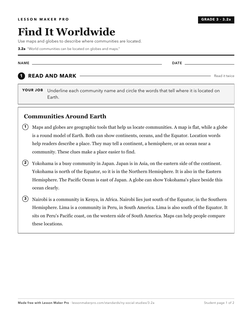
A ready-to-print activity worksheet aligned to 3.2a, with an answer key for the teacher on its own page. No account needed.
PDF, US Letter, prints cleanly in black and white.
Download the worksheetTurn this exact standard into a lesson
Grade, subject, topic, and the complete standard are prefilled. Create one free, no account needed.
Also for this standard:Make a WorksheetMake a QuizMake a Sub Lesson