NY Social Studies 3.1a
The Standard
Earth is comprised of water and large land masses that can be divided into distinct regions.
New York State K–12 Social Studies Framework
Key Idea 3.1
Geographic regions have unifying characteristics and can be studied using a variety of tools.
Teacher's field guide
What This Standard Means
What Students Need to Do
- Students identify and label the seven continents and five oceans on maps and globes. They locate studied communities and describe each location using nearby continents and oceans.
What Mastery Looks Like
- Students accurately label continents and oceans on an unlabeled world map. They can point to a studied community and explain its location with geographic terms.
Common Misconceptions
- Students may confuse continents with countries or treat islands as continents. They may mix up ocean names or think maps and globes show different places. Map size can also distort their sense of distance.
How to Assess It
- Give students a blank world map. Ask them to label three continents, two oceans, and one studied community, then describe that community's location in one sentence.
Lesson moves
Ways to Teach It
Place sticky notes with continent and ocean names on a classroom globe, then check each label with a partner.
Write: How would you describe our studied community's location to someone who cannot see the map?
Play map relay, where teams draw a location card and point to the correct continent or ocean.
Use a news story from a studied community, then locate the place and name its continent and nearest ocean.
Free download
Printable 3.1a Worksheet
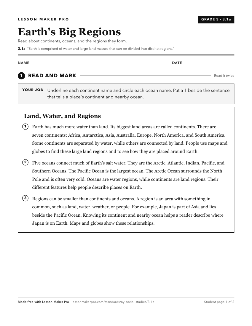
A ready-to-print activity worksheet aligned to 3.1a, with an answer key for the teacher on its own page. No account needed.
PDF, US Letter, prints cleanly in black and white.
Download the worksheetTurn this exact standard into a lesson
Grade, subject, topic, and the complete standard are prefilled. Create one free, no account needed.
Also for this standard:Make a WorksheetMake a QuizMake a Sub Lesson