NY Social Studies 10.4c
The Standard
International conflicts developed as imperial powers competed for control. Claims over land often resulted in borders being shifted on political maps, often with little regard for traditional cultures and commerce (e.g., Berlin Conference).
New York State K–12 Social Studies Framework
Key Idea 10.4
IMPERIALISM: Western European interactions with Africa and Asia shifted from limited regional contacts along the coast to greater influence and connections throughout these regions. Competing industrialized states sought to control and transport raw materials and create new markets across the world.
Teacher's field guide
What This Standard Means
What Students Need to Do
- Students compare African political maps from around 1800 and 1914. They identify changes in states, European claims, ethnic regions, and trade areas, then explain why borders changed.
What Mastery Looks Like
- Students use map keys and labels to cite specific changes, such as European control of the Congo and continued independence in Ethiopia. They explain how imposed borders divided or combined cultural and trade regions.
Common Misconceptions
- Students may assume Africa lacked organized states before European conquest or that colonial borders followed existing cultural boundaries. They may also think the Berlin Conference settled every border at one meeting.
How to Assess It
- Give students maps of Africa from around 1800 and 1914. Ask them to name two changes, one continuity, and one effect of a colonial border.
Lesson moves
Ways to Teach It
Have pairs place tracing paper over an 1800 map, copy key boundaries, then overlay it on a 1914 map and mark changes.
Ask students to write: Who gained power from Africa's new borders, and whose interests were ignored? Use two map details.
Run a map-card sort where students match territories, European powers, and evidence of change or continuity between 1800 and 1914.
Compare one colonial border with a present-day language or trade map, then write how that border may affect movement or government.
Free download
Printable 10.4c Worksheet
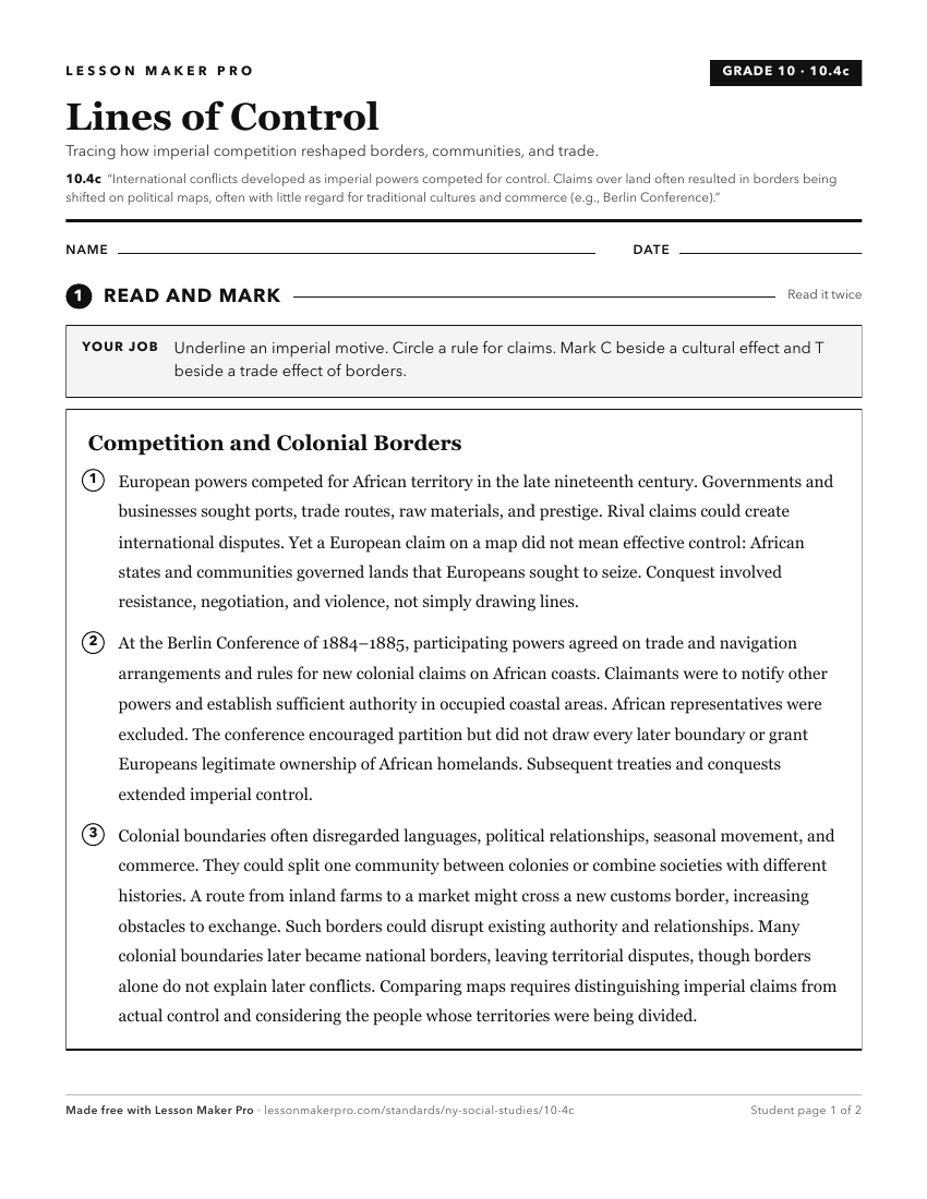
A ready-to-print activity worksheet aligned to 10.4c, with an answer key for the teacher on its own page. No account needed.
PDF, US Letter, prints cleanly in black and white.
Download the worksheetTurn this exact standard into a lesson
Grade, subject, topic, and the complete standard are prefilled. Create one free, no account needed.
Also for this standard:Make a WorksheetMake a QuizMake a Sub Lesson