NY Social Studies 1.5c
The Standard
Symbols are used to represent physical features and man-made structures on maps and globes.
New York State K–12 Social Studies Framework
Key Idea 1.5
The location and place of physical features and man-made structures can be described and interpreted by using symbols and geographic vocabulary.
Teacher's field guide
What This Standard Means
What Students Need to Do
- Students use a map legend to match symbols with places and features. They identify natural features, such as rivers, and built structures, such as schools and bridges.
What Mastery Looks Like
- Students explain what several symbols mean by checking the legend. They can locate a named feature and tell whether it is natural or built.
Common Misconceptions
- Students may think a symbol looks exactly like the real feature or shows its actual size. They may guess from the picture instead of checking the legend.
How to Assess It
- Give students a simple map with a legend showing a river, park, school, and bridge. Ask them to circle the school and explain how the legend helped.
Lesson moves
Ways to Teach It
Build a classroom map with blocks and paper shapes, then create a legend for desks, doors, windows, and shelves.
Show one map symbol and ask, “What might it represent, and what evidence from the legend proves your answer?”
Play Symbol Match by having students pair map symbol cards with feature cards, then sort each pair as natural or built.
Study a local park map and use its legend to find a path, water feature, restroom, and playground.
Free download
Printable 1.5c Worksheet
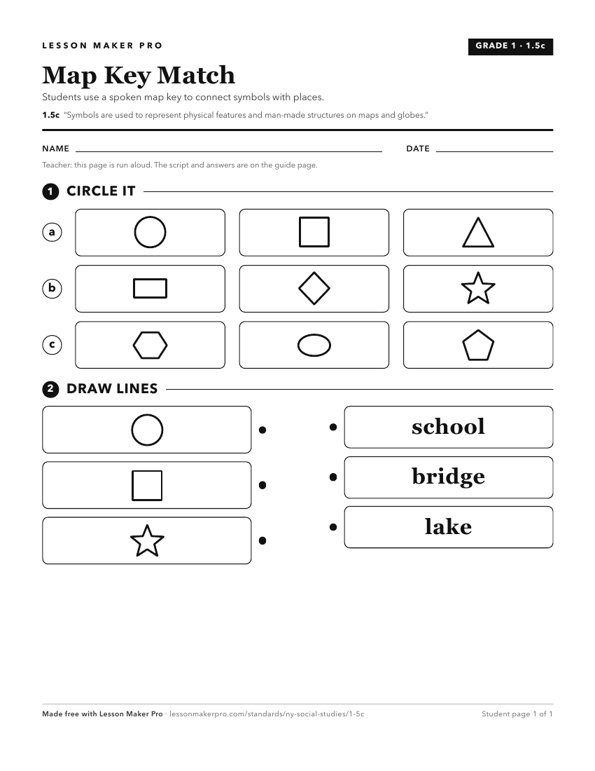
A ready-to-print activity worksheet aligned to 1.5c, with an answer key for the teacher on its own page. No account needed.
PDF, US Letter, prints cleanly in black and white.
Download the worksheetTurn this exact standard into a lesson
Grade, subject, topic, and the complete standard are prefilled. Create one free, no account needed.
Also for this standard:Make a WorksheetMake a QuizMake a Sub Lesson