Indiana Social Studies IS.3.9
The Standard
Identify geographic factors that led to the formation of state borders and understand the importance of said borders in the context of economic development relative to space and time.
2026 Indiana Academic Standards: K-12 Social Studies
Teacher's field guide
What This Standard Means
What Students Need to Do
- Students use maps to explain how rivers, mountains, and surveyed lines shaped state borders. They explain how those borders affected travel, trade, and growth in nearby places over time.
What Mastery Looks Like
- A student can explain why the Mississippi River forms the border between Missouri and Illinois. They can compare ferry crossings with later bridges and explain how each gave businesses access to customers across the river.
Common Misconceptions
- Students may think every border follows a natural feature, or that a straight border marks a physical barrier. They may assume a river border stops trade, overlooking boats and bridges.
How to Assess It
- Give students a map of Missouri and Illinois near St. Louis. Ask: "Why is the border here, and how could a bridge built in 1874 change trade by 1900?"
Lesson moves
Ways to Teach It
Lay blue yarn along the Mississippi on a Missouri-Illinois map, then place pennies where a ferry or bridge could bring customers.
Ask partners: Why did the Mississippi help set the Missouri-Illinois border, and how might a new bridge change business on each bank?
Play border sort with three map cards: Missouri-Illinois, Montana-Idaho, and Colorado-Wyoming; students identify a river, mountain divide, or surveyed line.
Use a St. Louis road map to pick a warehouse site that can serve stores in Missouri and Illinois across a bridge.
Free download
Printable IS.3.9 Worksheet
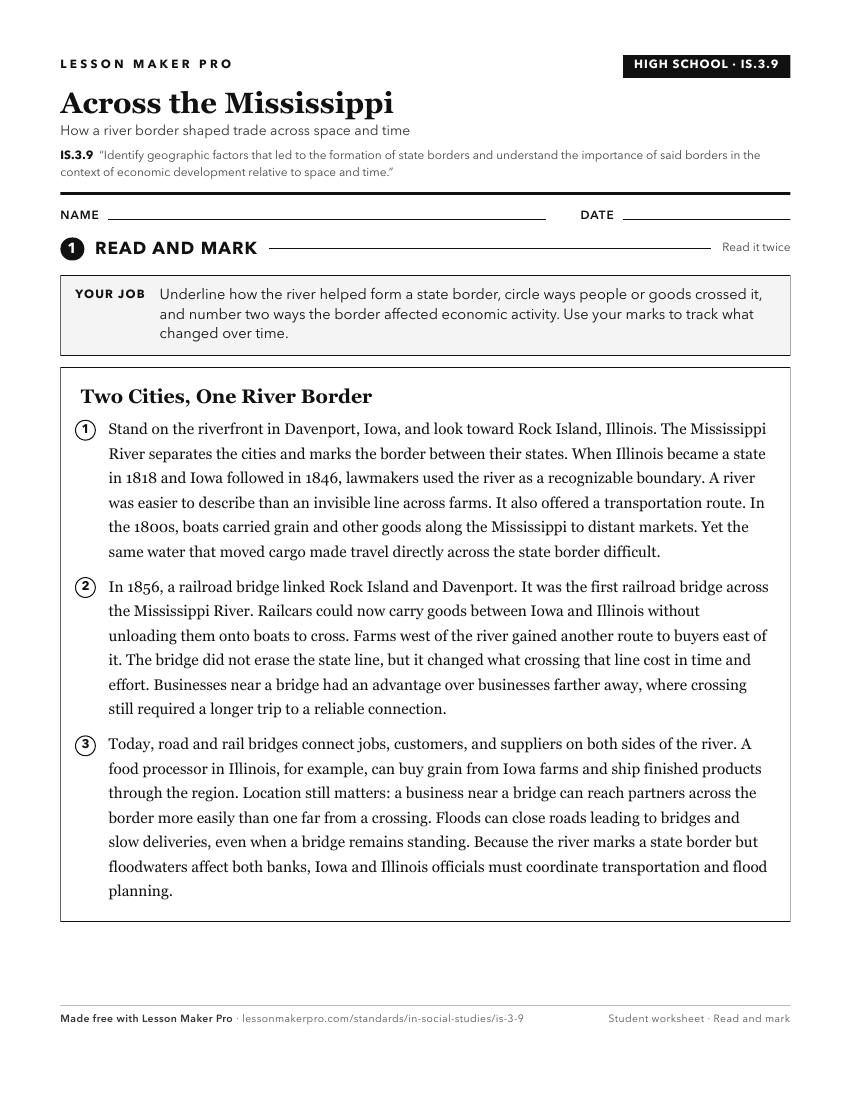
A ready-to-print activity worksheet aligned to IS.3.9, with an answer key for the teacher on its own page. No account needed.
PDF, US Letter, prints cleanly in black and white.
Download the worksheetKeep exploring
Related Standards
- 4.G.7
Identify migration patterns into and out of the state and explain how they contributed to the early development and cultural structures of communities.
- 8.E.1
Identify economic factors contributing to European exploration and colonization in North America, the American Revolution, and the drafting of the United States...
- 8.G.4
Using maps, identify changes influenced by growth, economic development, and human migration in the United States.
- 8.G.6
Analyze human and physical factors that have influenced migration and settlement patterns and relate them to the economic development of the United States.
Turn this exact standard into a lesson
Grade, subject, topic, and the complete standard are prefilled. Create one free, no account needed.
Also for this standard:Make a WorksheetMake a QuizMake a Sub Lesson