Indiana Social Studies 7.H.4
The Standard
Analyze how the Silk Road created economic interdependence and cultural exchange between Asia, Europe, and Africa.
2026 Indiana Academic Standards: K-12 Social Studies
Teacher's field guide
What This Standard Means
What Students Need to Do
- Students trace connected land and sea trade routes linking Asia, Europe, and Africa. They explain why merchants and buyers depended on people in other regions. They show how travelers carried beliefs and practices along with goods.
What Mastery Looks Like
- A student can trace silk from China through Central Asian markets toward Europe and ivory from East Africa to Asian markets. They can explain how a blocked trade stop affects buyers elsewhere and how Buddhism spread with travelers.
Common Misconceptions
- Students may picture one road from China to Europe or assume one merchant made the whole trip. They may leave African ports off the map or think only goods, not ideas, moved between regions.
How to Assess It
- On a map marked China, Central Asia, India, East Africa, and Europe, draw a land route and a sea route, then label silk and ivory. Write one sentence explaining how a blocked port affects buyers elsewhere and name one belief carried by travelers.
Lesson moves
Ways to Teach It
Give pairs a labeled Afro-Eurasia map and yarn; connect Xi'an, Samarkand, Constantinople, Calicut, Aden, and Kilwa, then trace silk and ivory cards.
Ask: If ships could not dock at Aden, who might lose access to East African ivory or Indian pepper? Use the map to explain.
Play a goods relay: teams match silk, pepper, glass, and ivory cards to source regions, then pass each through two marked trade stops.
Have students read the origin on a spice jar, draw its trip to a local store, and compare it with a historical pepper route.
Free download
Printable 7.H.4 Worksheet
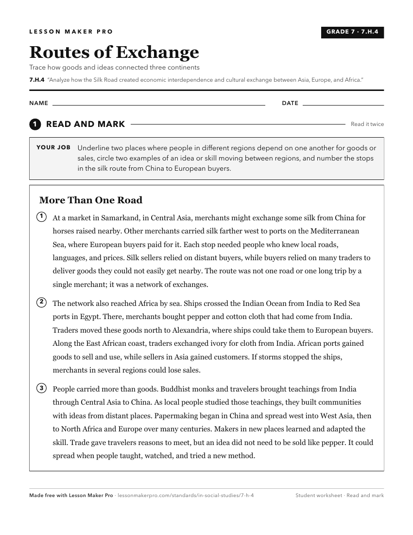
A ready-to-print activity worksheet aligned to 7.H.4, with an answer key for the teacher on its own page. No account needed.
PDF, US Letter, prints cleanly in black and white.
Download the worksheetKeep exploring
Related Standards
- 6.H.5
Identify trade routes and discuss their impact on the rise of cultural centers and trade cities in Europe and Mesoamerica.
- 6.E.2
Analyze how countries of Europe and the Americas have been influenced by trade in different historical periods.
- WH.3.1
Analyze the impact of trade networks, such as the Silk Road and Indian Ocean trade network.
- 7.H.5
Analyze the scientific, cultural, and economic influences of Muslim civilizations including trade routes and banking systems.
Turn this exact standard into a lesson
Grade, subject, topic, and the complete standard are prefilled. Create one free, no account needed.
Also for this standard:Make a WorksheetMake a QuizMake a Sub Lesson