Indiana Science MS-ESS3-1
The Standard
Construct a scientific explanation based on evidence for how the uneven distributions of Earth's mineral, energy, and groundwater resources are the result of past and current geoscience processes. [Clarification Statement: Emphasis is on how these resources are limited and typically non-renewable, and how their distributions are significantly changing as a result of removal by humans. Examples of uneven distributions of resources as a result of past processes include but are not limited to petroleum (locations of the burial of organic marine sediments and subsequent geologic traps), metal ores (locations of past volcanic and hydrothermal activity associated with subduction zones), and soil (locations of active weathering and/or deposition of rock).]
Indiana Academic Standards for Science (2023) · Earth and Human Activity
Teacher's field guide
What This Standard Means
What Students Need to Do
- Students read maps and rock diagrams to find patterns in where resources occur. They use evidence to link oil to buried marine sediments, metal ores to volcanic activity, and groundwater to porous rock. They explain how pumping and mining reduce supplies.
What Mastery Looks Like
- A student uses map evidence to link copper deposits to past volcanic activity. They use a rock diagram to explain why oil collects under a rock seal. They predict how mining or pumping changes the supply.
Common Misconceptions
- Students may think resources are spread evenly underground or form wherever people drill. They may picture groundwater as an underground lake, or assume it refills as fast as people pump it.
How to Assess It
- Exit ticket: Show a map of copper deposits and ancient volcanoes. Ask students to explain why deposits cluster near volcanoes, cite one map clue, and predict the effect of mining.
Lesson moves
Ways to Teach It
Layer gravel over clay in a clear cup, pour in water, and mark where water collects above the clay.
Compare an oil field map with a map of ancient marine sediments; ask why only some sediment areas became oil fields.
Give pairs oil, copper, and aquifer maps; have them match each to buried sediments, volcanic activity, or porous rock and cite map evidence.
Show the USGS aquifer map for your state; ask how heavy pumping and drought could change water access there.
Free download
Printable MS-ESS3-1 Worksheet
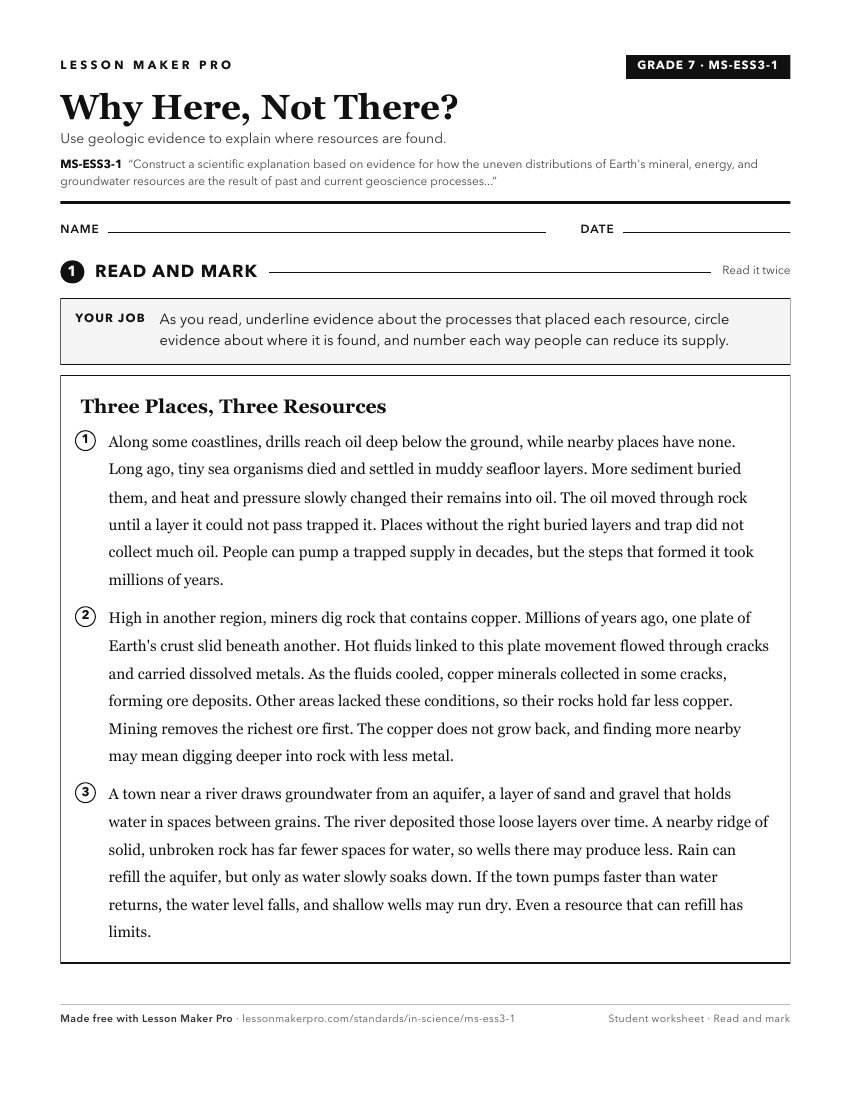
A ready-to-print activity worksheet aligned to MS-ESS3-1, with an answer key for the teacher on its own page. No account needed.
PDF, US Letter, prints cleanly in black and white.
Download the worksheetKeep exploring
Related Standards
Turn this exact standard into a lesson
Grade, subject, topic, and the complete standard are prefilled. Create one free, no account needed.
Also for this standard:Make a WorksheetMake a QuizMake a Sub Lesson