NGSS 2-ESS2-3
The Standard
Obtain information to identify where water is found on Earth and that it can be solid or liquid.
Next Generation Science Standards
Teacher's field guide
What This Standard Means
What Students Need to Do
- Students gather facts from maps, photographs, diagrams, or short texts about where water is found. They identify water in oceans, rivers, lakes, glaciers, and ice caps as liquid or solid.
What Mastery Looks Like
- Students use maps, photos, or short texts to name places where water is found. They correctly sort oceans, lakes, and rivers as liquid water, and glaciers and ice caps as solid water.
Common Misconceptions
- Students may think all water is liquid or that ice is not water. They may also think most Earth water is in rivers and lakes, rather than oceans and large areas of ice.
How to Assess It
- Give students a world map and four pictures: ocean, river, glacier, and cloud. Ask them to circle places with liquid water and box places with solid water.
Lesson moves
Ways to Teach It
Give pairs a map, water-location cards, and solid-or-liquid labels to sort and place on the map.
Show photos of an ocean, lake, river, glacier, and ice cap, then ask students to explain where water appears and its form.
Play Water Location Match by pairing picture cards with location names and solid-or-liquid cards.
Have students examine a local map and identify nearby ponds, lakes, rivers, streams, or seasonal ice.
Free download
Printable 2-ESS2-3 Worksheet
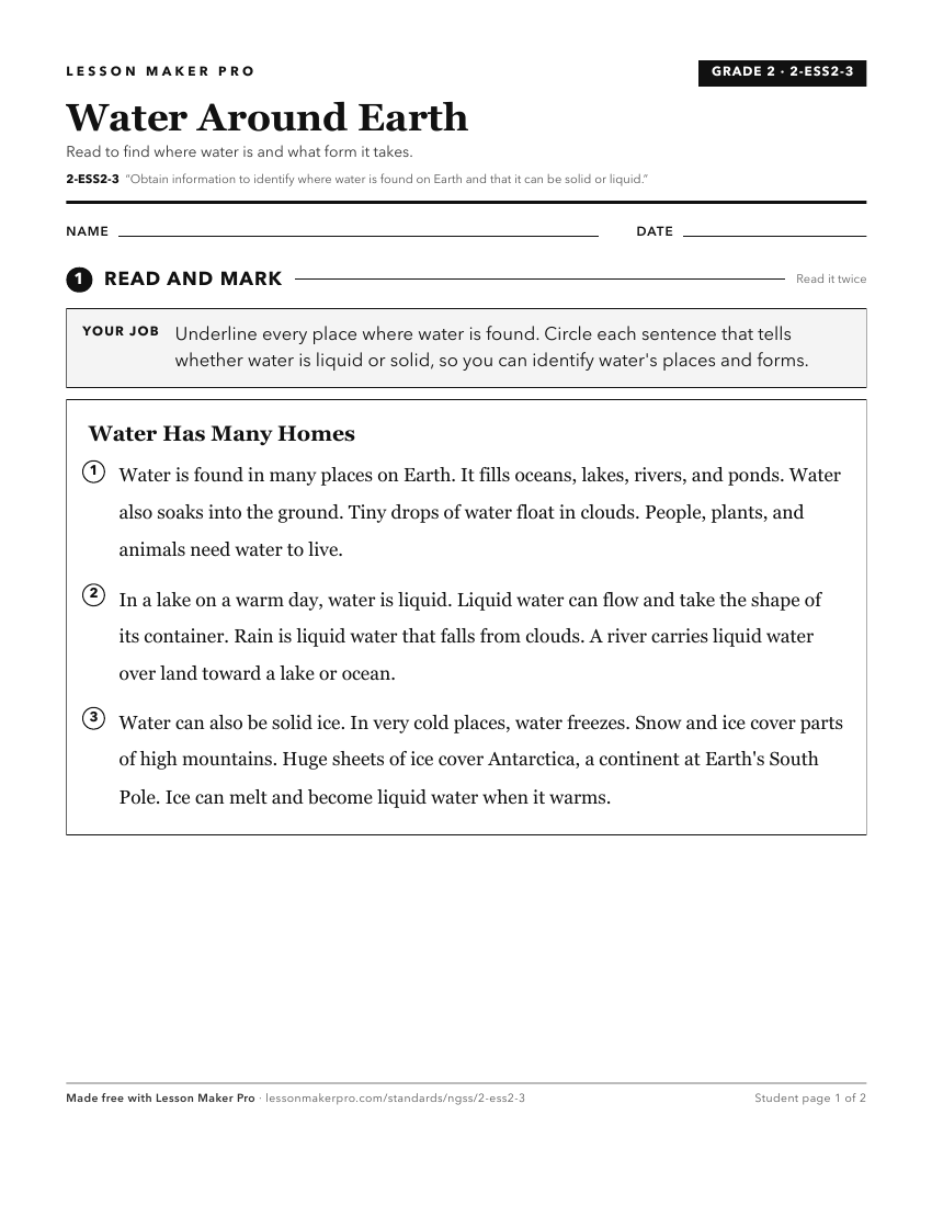
A ready-to-print activity worksheet aligned to 2-ESS2-3, with an answer key for the teacher on its own page. No account needed.
PDF, US Letter, prints cleanly in black and white.
Download the worksheetKeep exploring
Related Standards
- HS-ESS2-5
Plan and conduct an investigation of the properties of water and its effects on Earth materials and surface processes.
- 5-ESS2-2
Describe and graph the amounts and percentages of water and fresh water in various reservoirs to provide evidence about the distribution of water on Earth.
- MS-ESS2-4
Develop a model to describe the cycling of water through Earth's systems driven by energy from the sun and the force of gravity.
- 4-ESS2-2
Analyze and interpret data from maps to describe patterns of Earth's features.
Turn this exact standard into a lesson
Grade, subject, topic, and the complete standard are prefilled. Create one free, no account needed.
Also for this standard:Make a WorksheetMake a QuizMake a Sub Lesson